





How to reach
The Castle rises above the Church of San Giovanni Battista in Monteloro, which is reached from Florence by taking the Aretina road SP 34, after the village of Ellera and just before reaching Le Sieci, turning left under a railway bridge (signposted Monteloro, Via del Paretaio). Upon reaching the first houses of the village, turn immediately left until reaching the Church, and from there proceed on foot to the nearby ruins.
History
The castle of Monteloro (Mons Laurus), also known as Castello dei Vescovi di Fiesole (Castle of the Bishops of Fiesole), is certainly one of the oldest in the Florentine countryside. It is located on one of the hills between the Sieci stream, which flows from east to southwest, and the Falle stream, which passes from west to southwest; both flow into the Arno river about a mile and a half from Monteloro.
Documentation regarding its origin is scarce, but excavations have revealed that the site may have been a Longobard watchtower built on top of a previous Roman structure. We have certain records of the locality of Monteloro dating back to the distant 9th century in a document concerning the life of the Bishop of Fiesole, St. Alessandro, confirming that the Longobard Emperor Lotario I (823–855) granted some of his assets, including the Castle of Monte Lauro and the Rocca di Fiesole, as a fief to the diocese.
It is also known that the territories of Monteloro have been owned by the nobles of Cercina since 1042, although the bishops were confirmed to have possession of both the castle and the adjacent parish church of San Giovanni Battista by Pope Paschal II with a bull of 1103. This was where the bishops of Fiesole spent the summer months. The castle later became the capital of one of the 76 Leagues of the Government of the Republic of Florence, which gave it its name: it included territories from the right bank of the Arno to the Sieve River and the chains of Monte Rotondo and Monte Giovi. It was already in ruins by 1427.
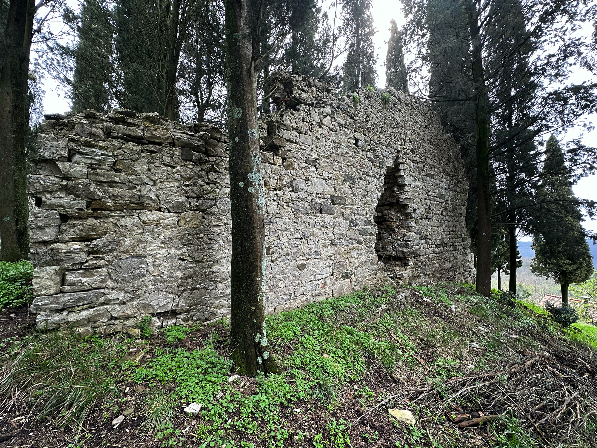
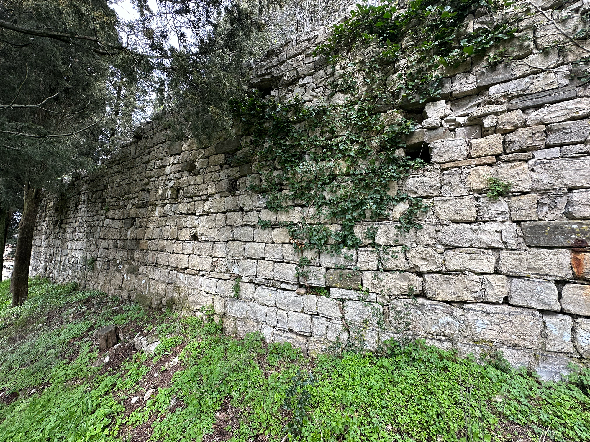
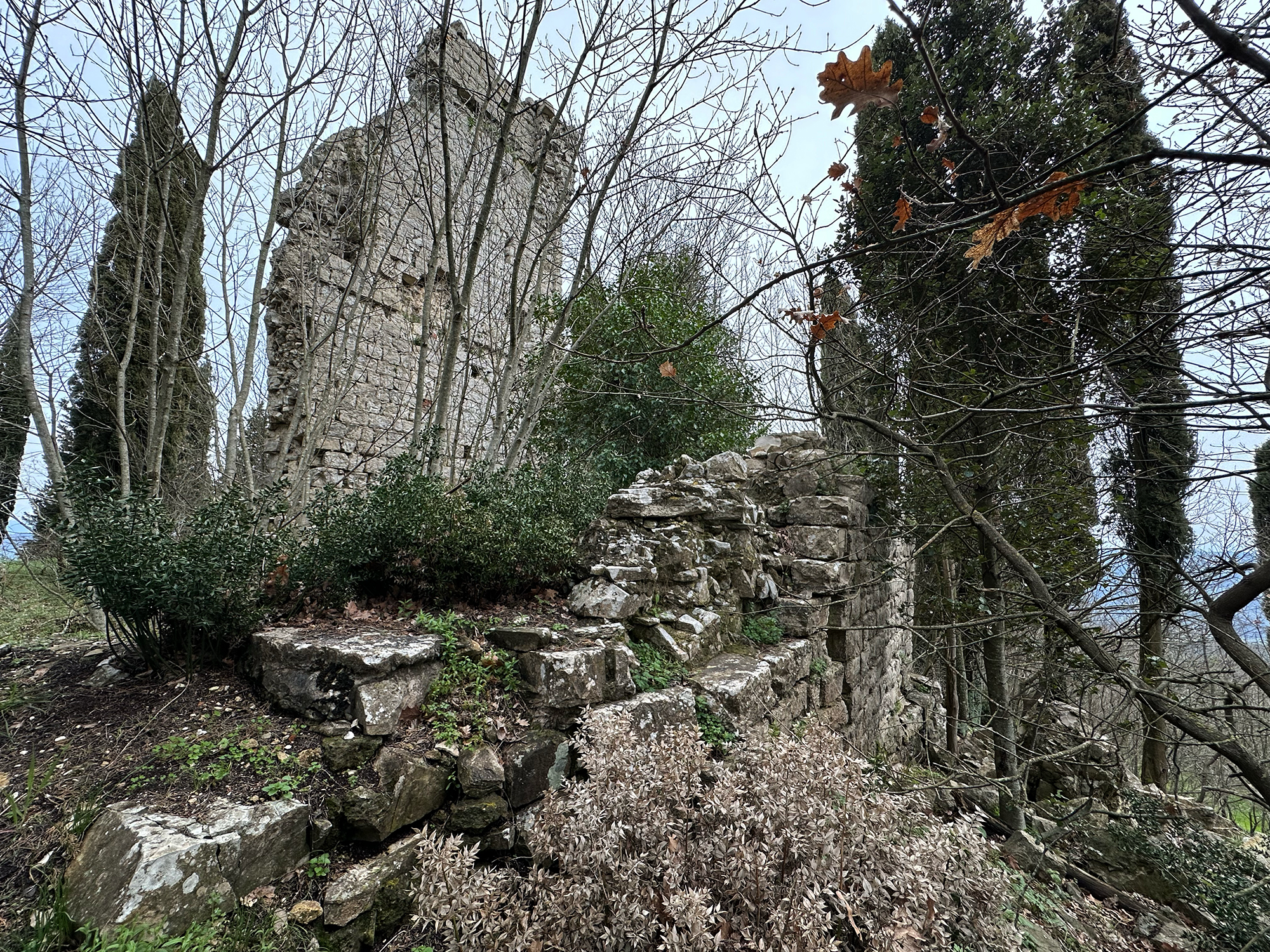
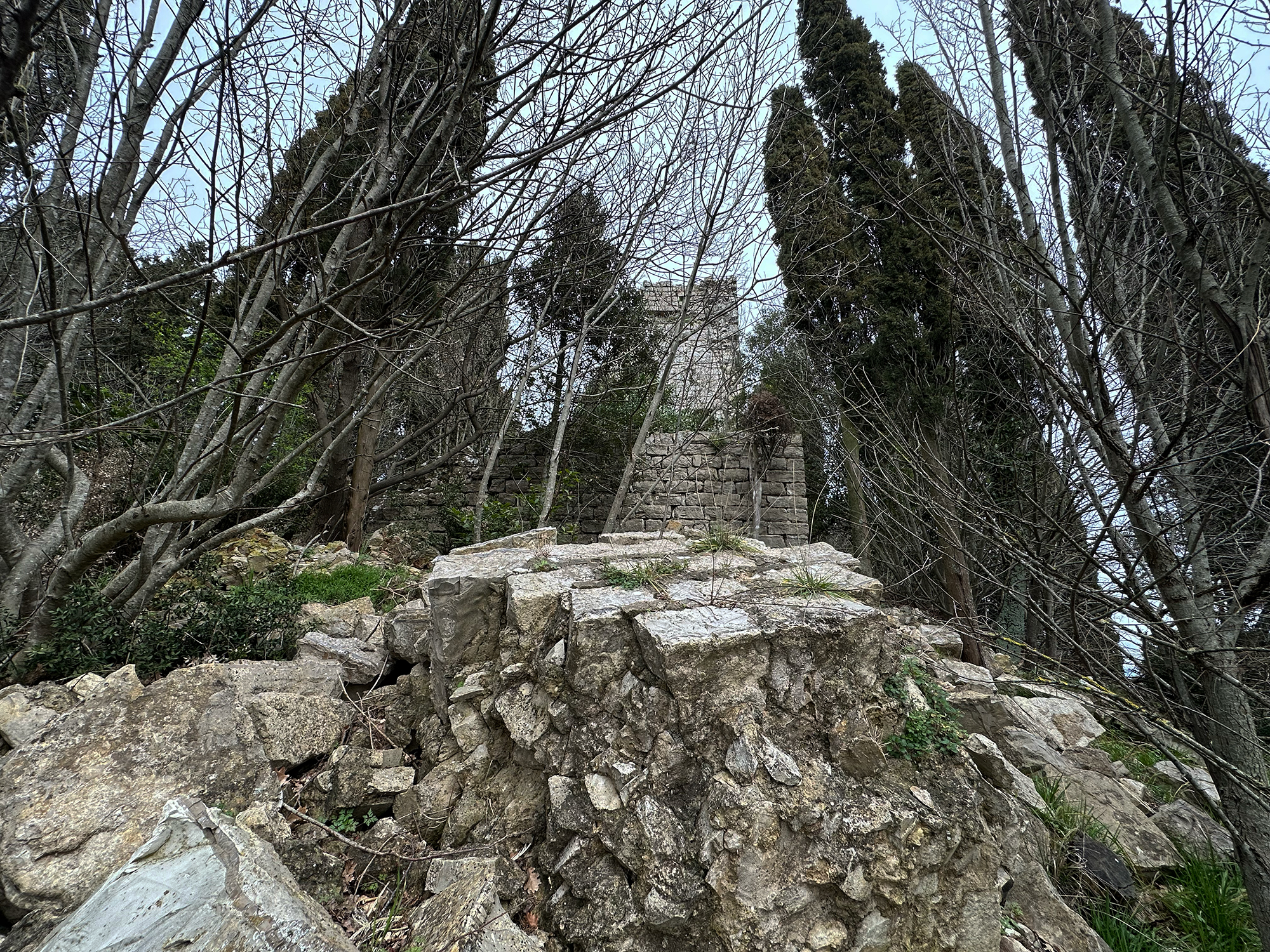
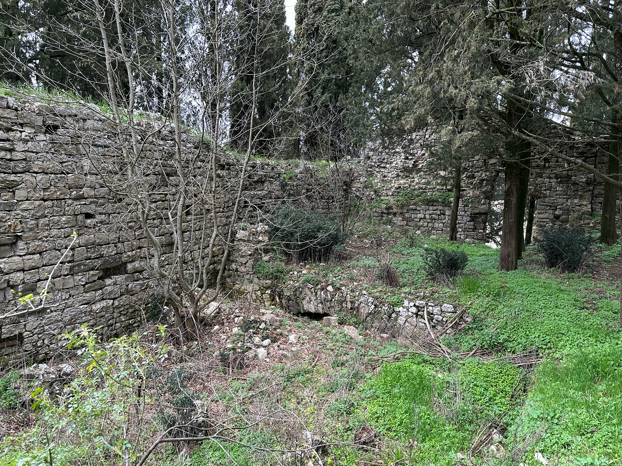
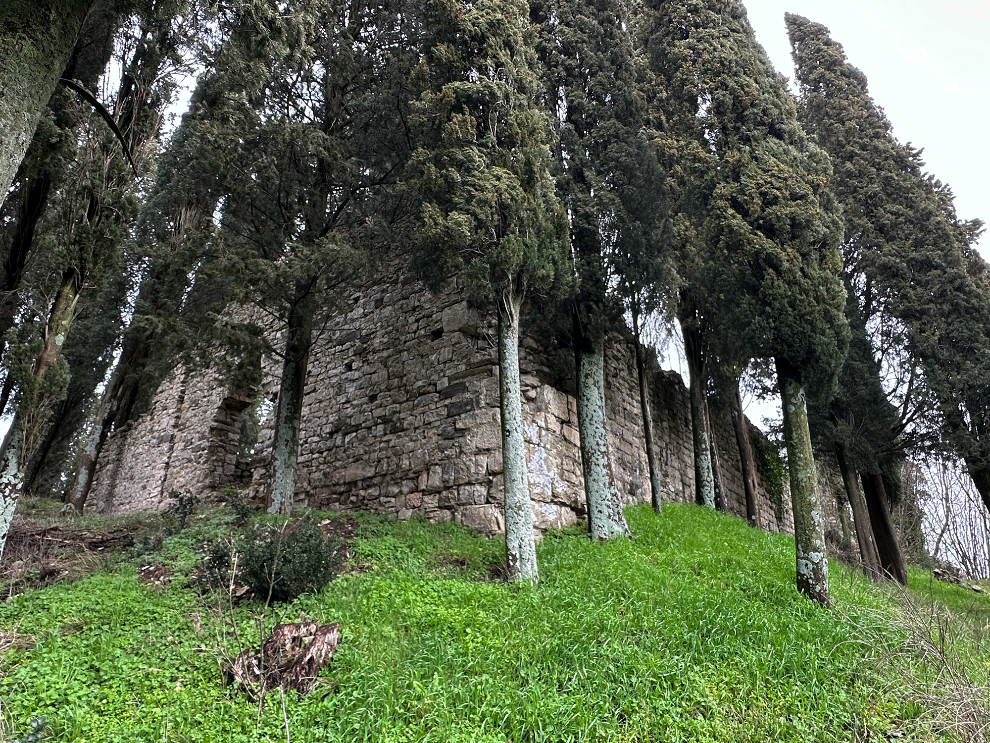
The remains of the castle are now surrounded by a grove of cypress trees at the top of a rocky hill, creating a natural escarpment on all sides. The fortress had a quadrilateral shape with powerful towers at the corners crowned with Guelph battlements, walls of medium thickness of one meter made of visible well-cut stones, and blocks filled inside with lime and river material. All elements can be easily identified by analyzing the various collapses present in the area.
From the remaining perimeter walls (especially on the northeast side), some arrow slits can be recognized. On the north side, the entrance gate is visible, and on the right, now completely buried, the barrel vault of a large building can be glimpsed. On the opposite side, only one side of the tower, 11 meters high, remains standing, the only part left after the collapse that occurred in 2008 and was never recovered, so much so that the remains are still completely lying on the slope below. On the west side, the layout of the disappeared perimeter wall is fairly legible from scattered remains of walls.