

How to reach
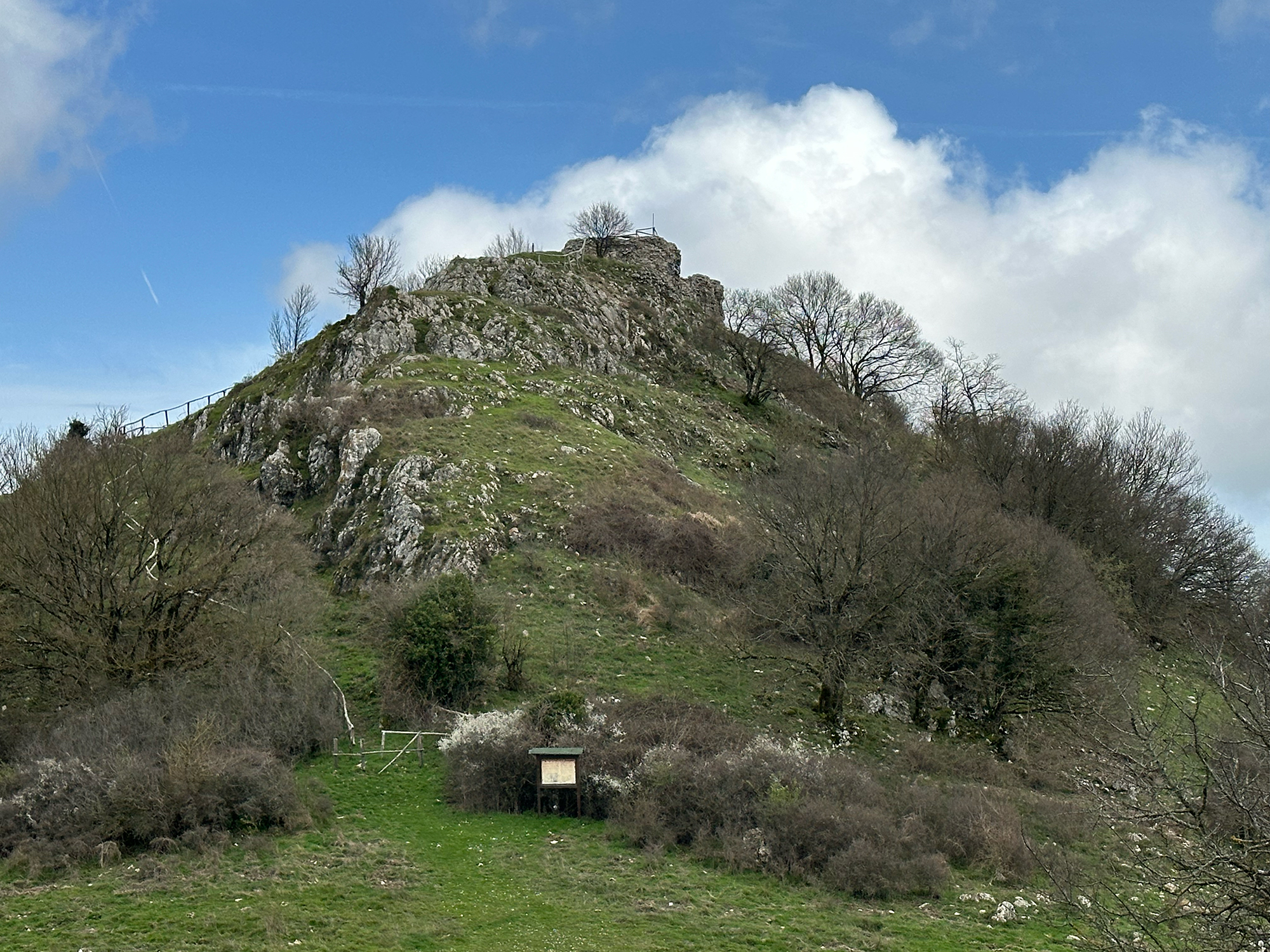
The Rocca can be reached with a short and simple trek from the village of Montevitozzo. Just as you arrive at the beginning of the village, take the first road on the right (if coming from Castell'Azzara) or on the left (if coming from Sorano). As soon as the road becomes unpaved, leave your car and continue on foot for about 3 km, with an elevation gain of less than 200 meters.
History
The Roccaccia, or Rocca di Monte Vitozzo, stands at 926 meters above sea level within the Monte Penna Nature Reserve. It was formerly known as Rocca Tèdula.
Its first mention appears in a papal bull dated April 5, 1188, by Pope Clement III, recommending to the canons of Sovana "... the church of Santa Croce di Monte Vitozzo with all its appurtenances and revenues; the Rocca Tèdula with the church and all its appurtenances and revenues, whether they be tithes or other ..."
In the past, it was thought that the Roccaccia of Monte Vitozzo was the ancient location of the village of Monte Vitozzo. However, the same papal bull demonstrates that the two place names existed simultaneously, already in 1188. The bull also suggests that the church of Santa Croce di Monte Vitozzo (only the Church) and the Rocca Tèdula and its church were under ecclesiastical domain.
The name Rocca Tèdula comes from the Latin diminutive of "tèda" meaning a torch made of resinous material, resistant to the wind, formerly used for nighttime illumination. The fortress, prominently situated, certainly served the function of signaling and sending messages with torches to friendly fortifications with which it was connected. This is still quite evident today.
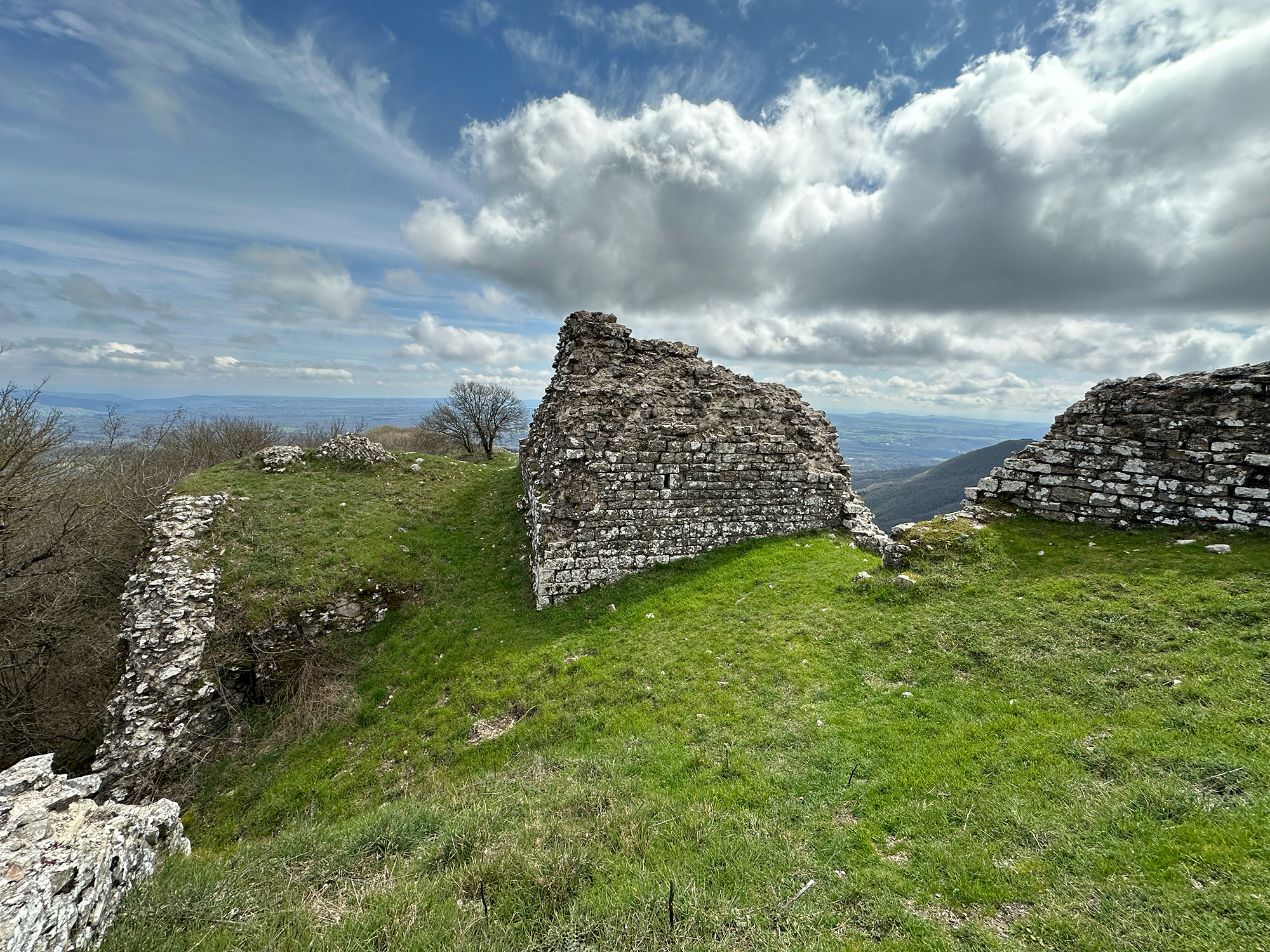
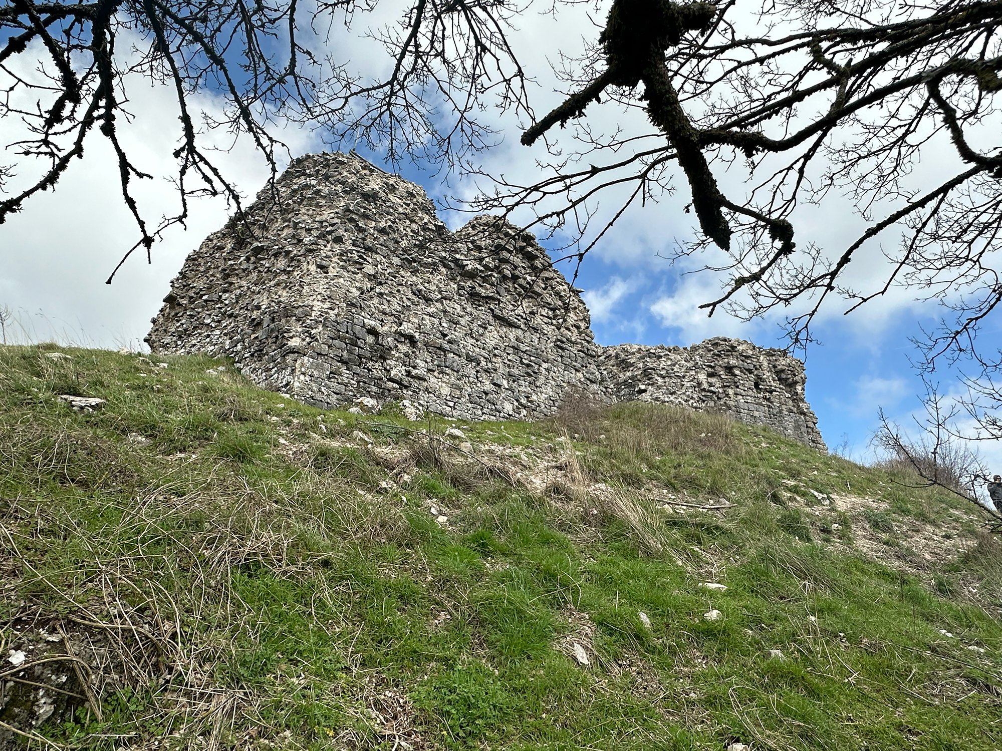
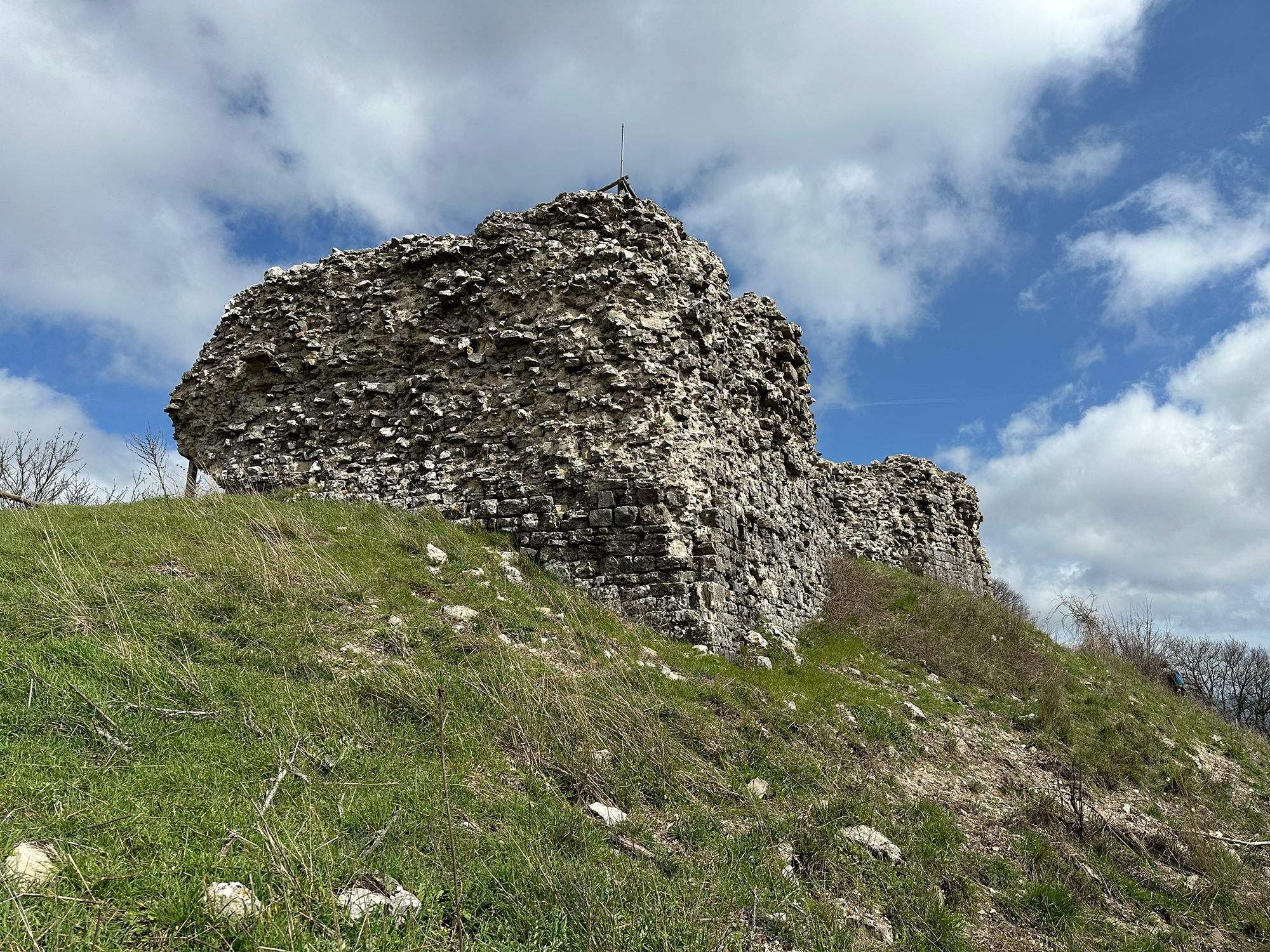
The diminutive "Tèdula" used in the papal bull suggests that the Rocca was initially little more than a small fortress, but from the ruins, one can still observe that the fortress underwent subsequent reconstructions and expansions.
The strategic position atop rugged and rocky terrain, often windy, made it the ideal place for medieval life. The Rocca was listed among the Aldobrandeschi castles according to the ruling of 1216, presuming that the original fortress was built by the powerful family in this location, from which the underlying valleys could be dominated and potential enemy attacks easily identified, along with offering better defense due to the ruggedness of the terrain. It later became a subject of contention between the Ottieri di Montorio, allied with the Aldobrandeschi, and the Orvietans who aimed to expand their domains in the southeastern part of the present province of Grosseto. In the 15th century, it fell under the control of Siena, following agreements made with the Ottieri and the abandonment of expansionist ambitions by the municipality of Orvieto. Subsequently, the complex was handed over to the Orsini of Pitigliano, who incorporated it into their county. In the early 17th century, Montevitozzo passed into the hands of the Medici, becoming part of the Grand Duchy of Tuscany.
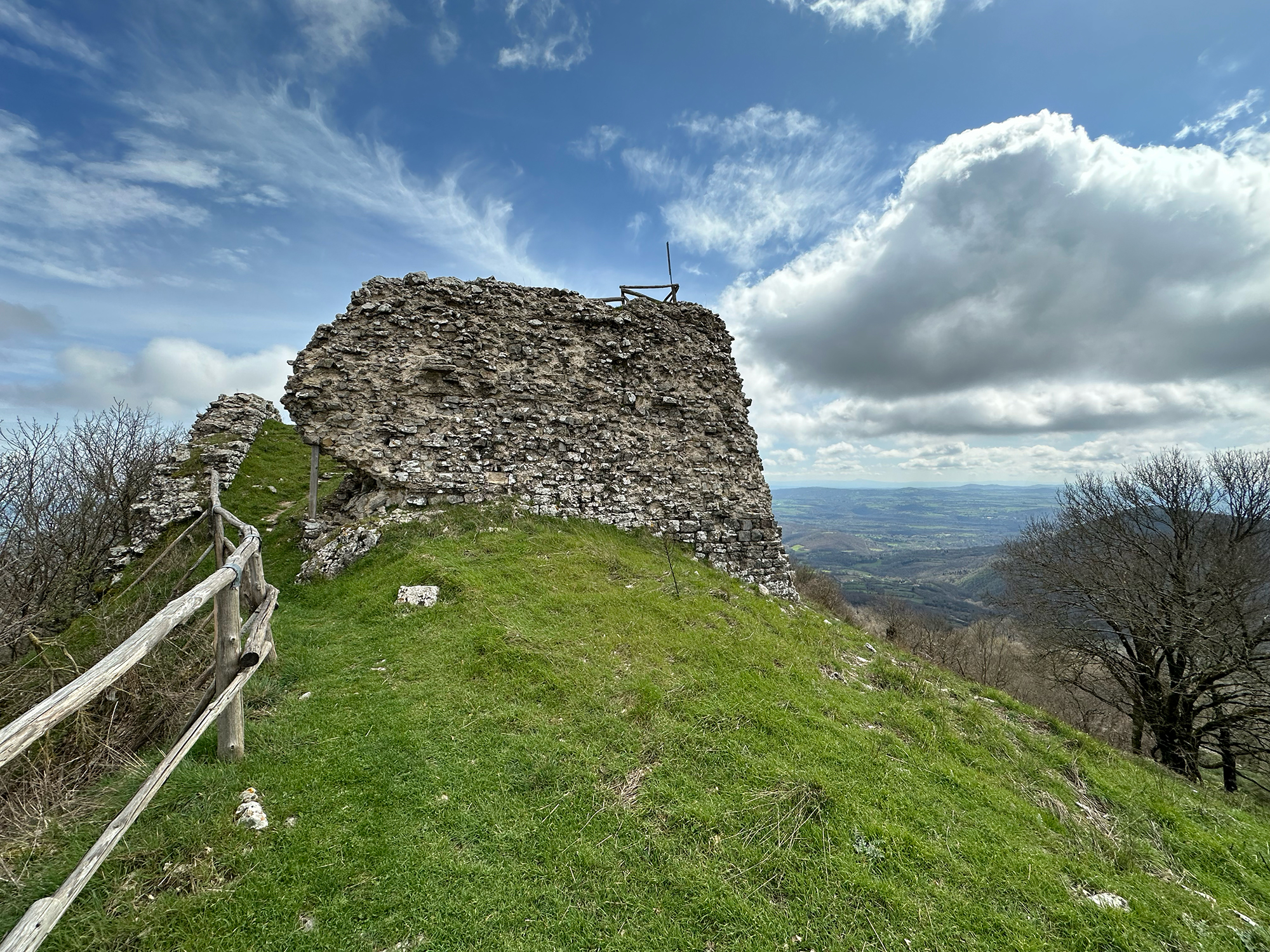
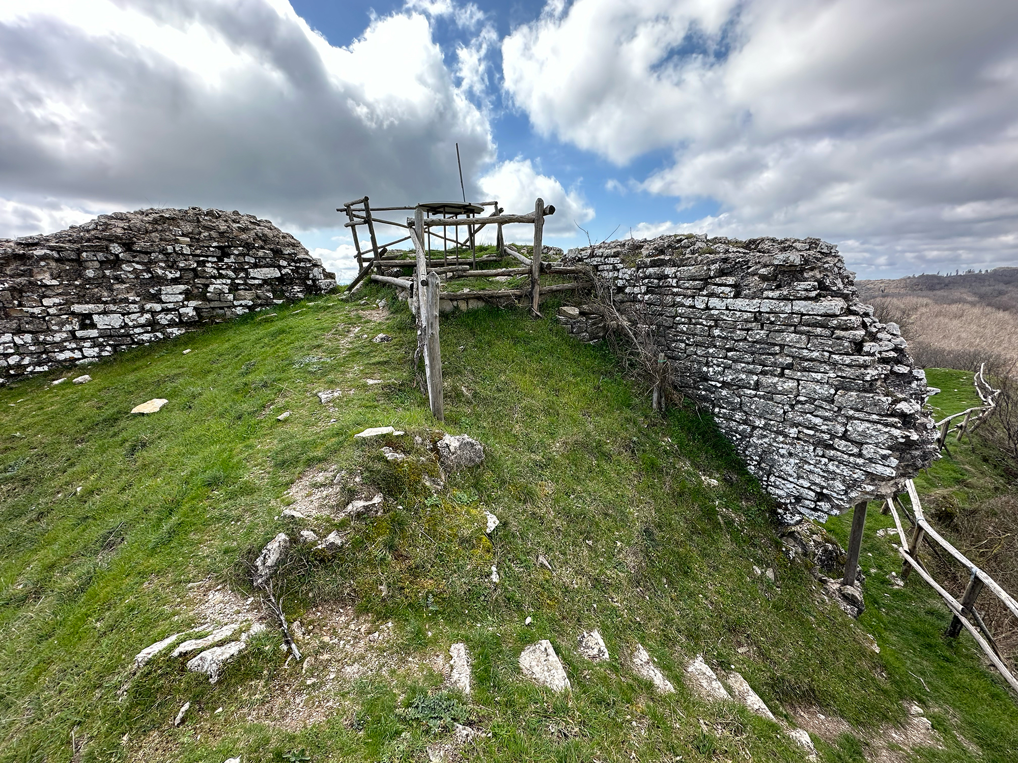
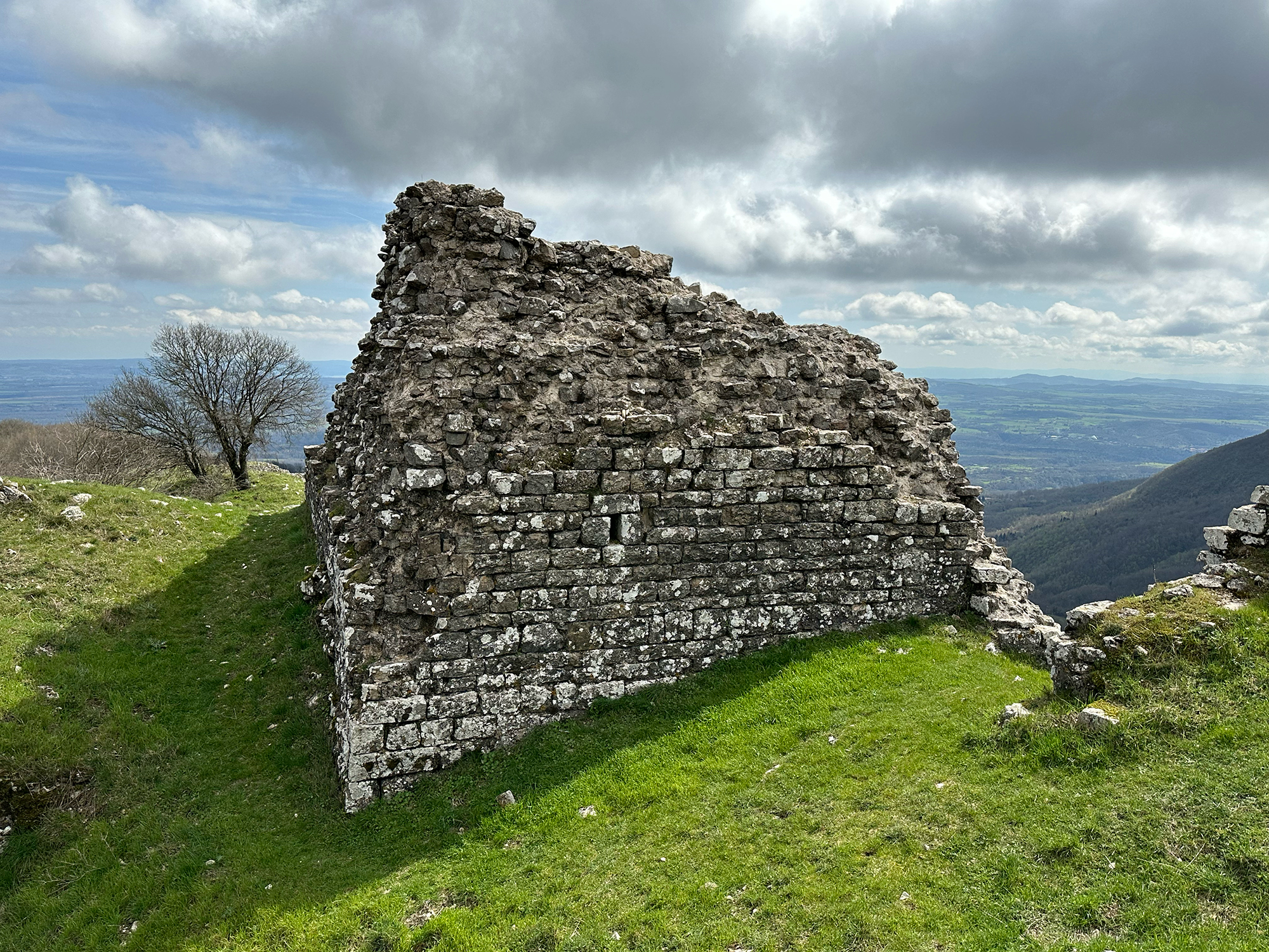
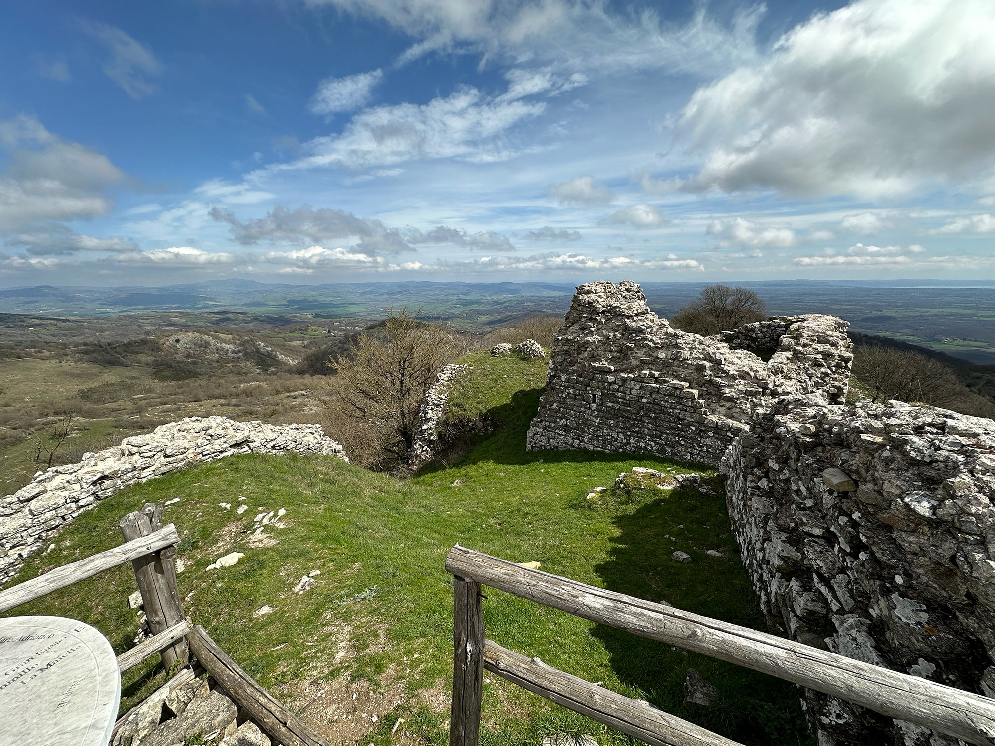
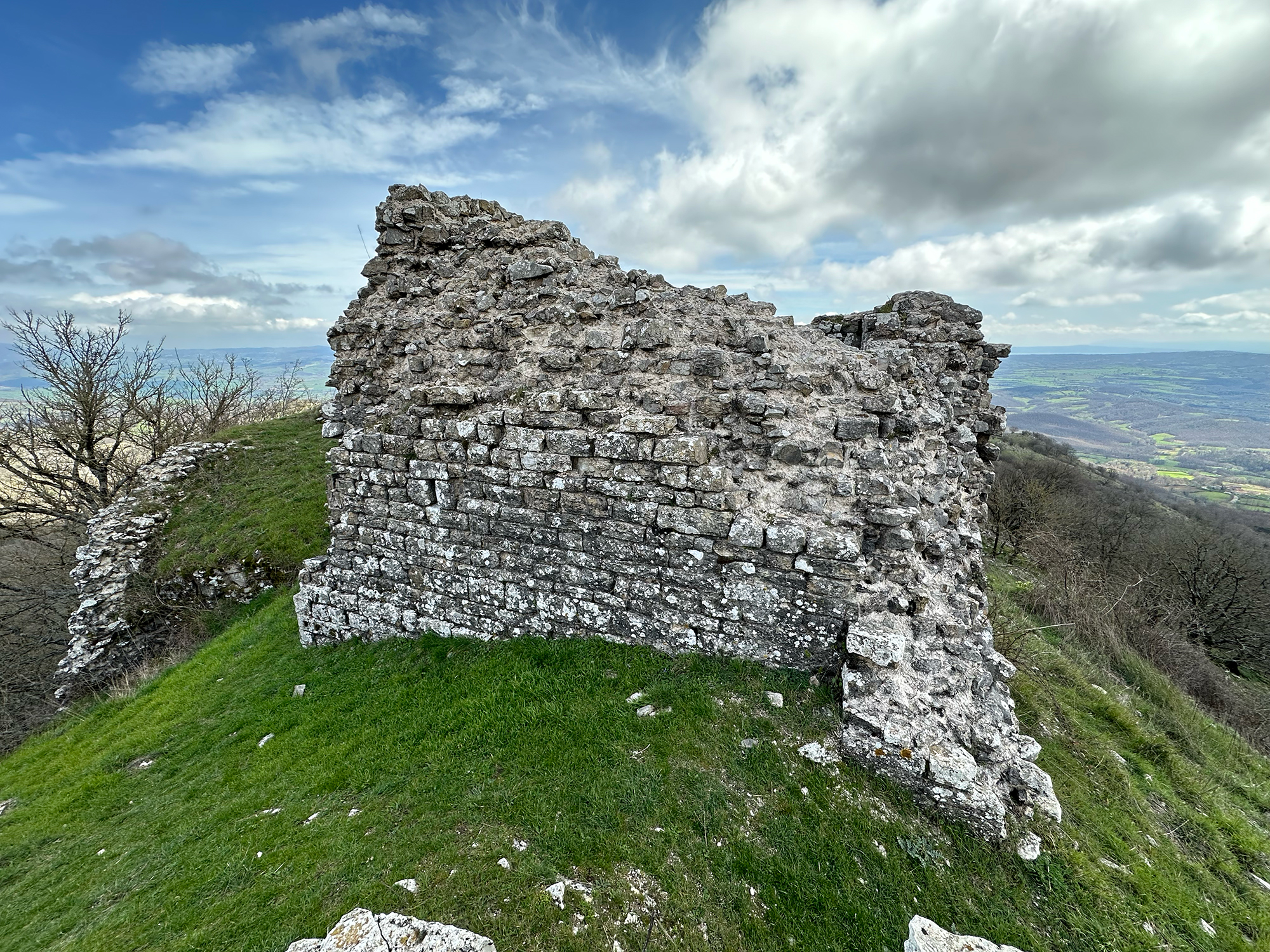
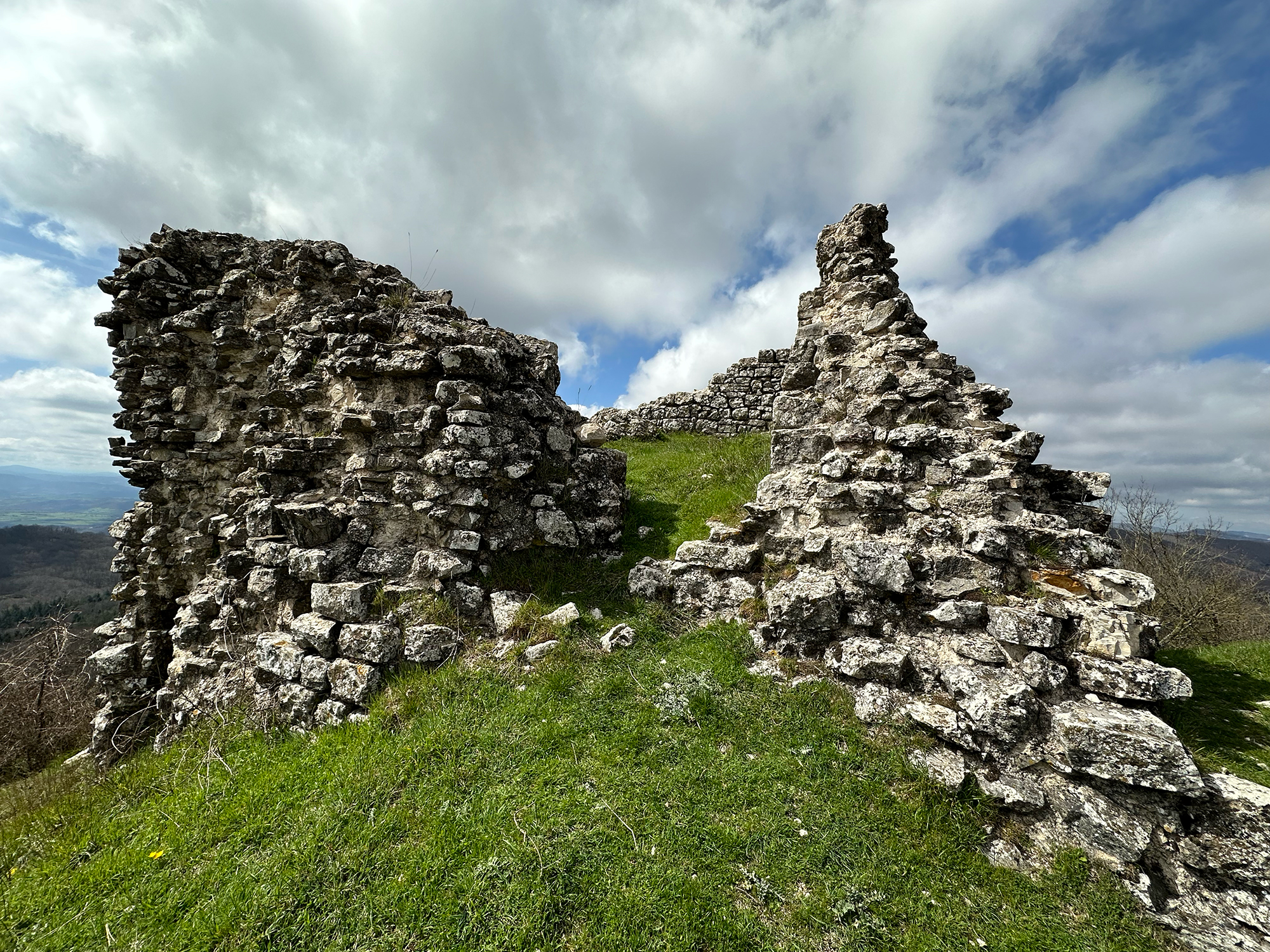
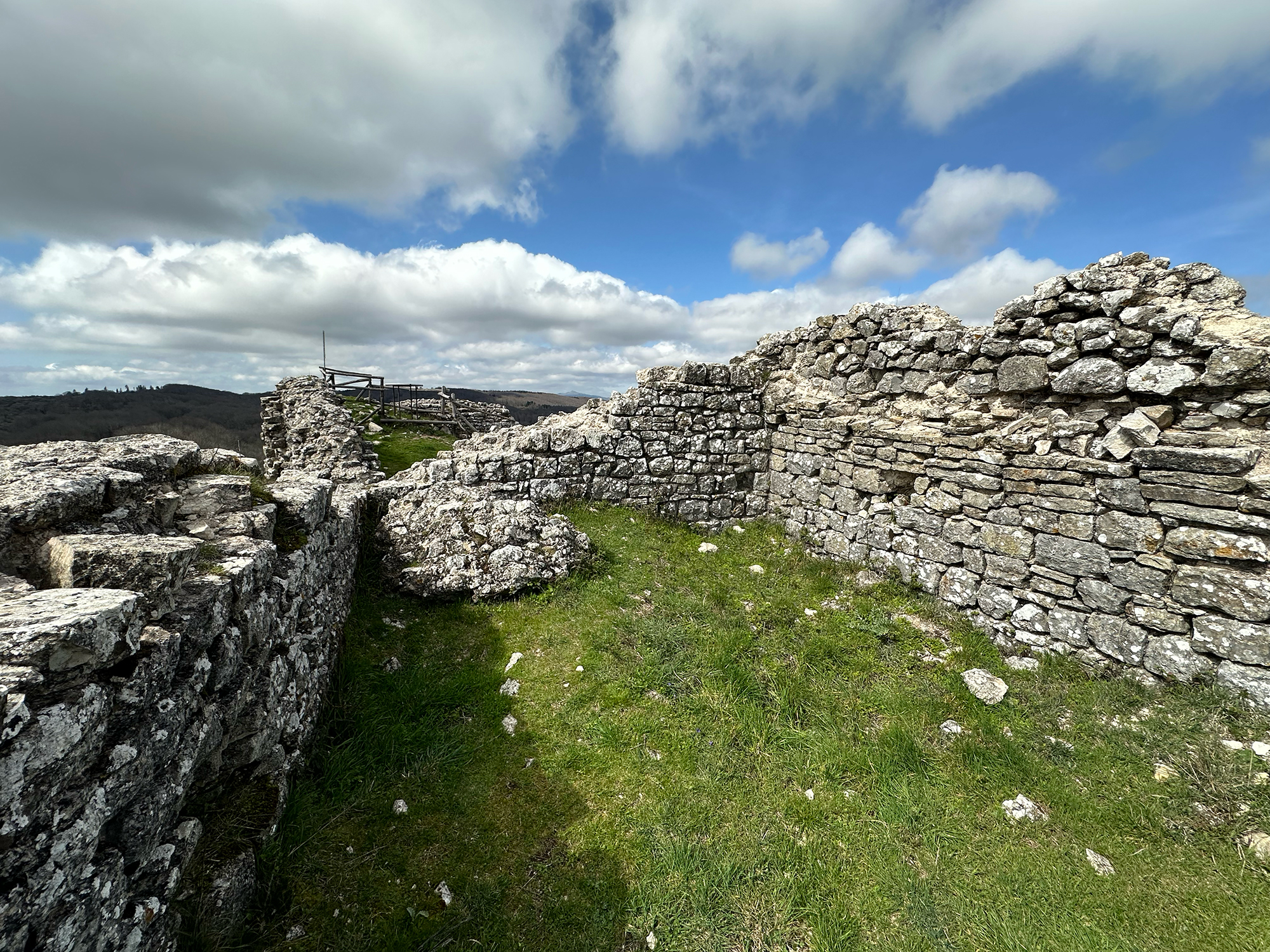
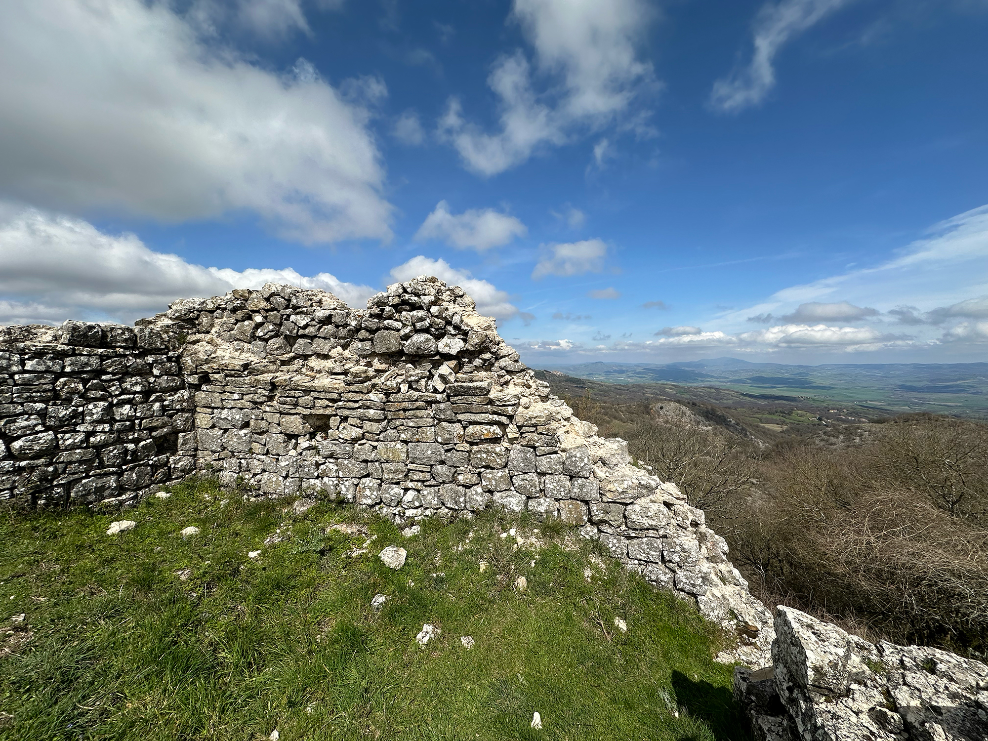
The ruins of the walls, built in local stone, have a thickness ranging from 80 to 130 cm. The fortification's plan has the shape of a very irregular trapezoid, conditioned by the ruggedness of the terrain on which it stands. The longer base facing north measures 25 meters, while the shorter one measures 20 meters. One side is 11.5 meters long, and the other is 10 meters. The entrance was to the south, facing Mount Elmo, almost at the center of the shorter, convex base of the trapezoidal figure. It is very likely, analyzing the terraces and remains of walls, that beneath it, there were once other buildings used as dwellings and stables.
The Rocca had two concentric walls, within which the church mentioned in the Papal Bull was probably also located, although its exact location is unknown. It is not excluded that it was located in the hamlet of i Marcelli, both because the fortress had its own community and territory and because, in the 1200s, there is evidence of the existence of a church dedicated to Saint Mark (in Latin, "Sancti Marci").
The name Rocca Tèdula was preserved for several centuries. By the end of the 16th century, it had also given its name to the Fosso di Fontetèdula (identifiable with the present-day Fosso del Molino) and to the spring that must have been along its course, which could correspond to the present-day Fonte delle Capannelle.
Despite the unfortunately scant ruins, one can enjoy a breathtaking landscape that spans 365 degrees over the underlying valleys, reaching Radicofani towards the Val d'Orcia, Lake Bolsena towards Lazio, and the sea. For hiking enthusiasts and nature lovers, visiting it is an experience that absolutely must be lived.