

How to reach
The village of Cuna stands along the SS2 Cassia, a few hundred meters before entering in Monteroni d' Arbia. Exit from the Florence-Siena motorway at 'Siena Sud' then follow the indications for Buonconvento. Pass through Ponte a Tressa and continue on the old road without entering the new 4 lanes linkup motorway. Again few hundred meters and the huge Grancia di Cuna will appear on your right.
History
From the 12th and 13th centuries the Hospice of Spedale of Santa Maria della Scala of Siena took interest in the daily life of the hill community of Cuna, in the Val d'Arbia near the important fortified water mill of Monteroni d'Arbia. Here since the 1152 rose a hospice to give shelter to the pilgrims and merchants traveling throughout the Francigena Road. This hospice was property of the Torri Abbey. In the 13th century the Hospice accumulated the main part of all its properties in the Val d'Arbia and in 1295 Ristori Menghi di Giusto, rector of the Hospice, purchased the small hill (poggiarello) known as 'di Cuna e Castelluccio'.
Following the request of Ristoro was decided to build a huge building at Cuna. His successor, Giovanni de' Tolomei, probably began the construction of the grain farm in 1314, together with the rebuilding of the church entitled to the Saints Giacomo and Cristoforo, just outside the fortified walls main gate. In the 14th century, due to political and military instability, in order to safeguard its own reserves of cereals and grain, the Hospice was forced to fortify the farm by means of restructuring operations which endowed it with distinctive features, recurrent in the future typology of the granaries. The fortified granaries of the Sienese countryside were called 'Grancia'. Cuna is still today one of the best preserved of the whole Tuscany.
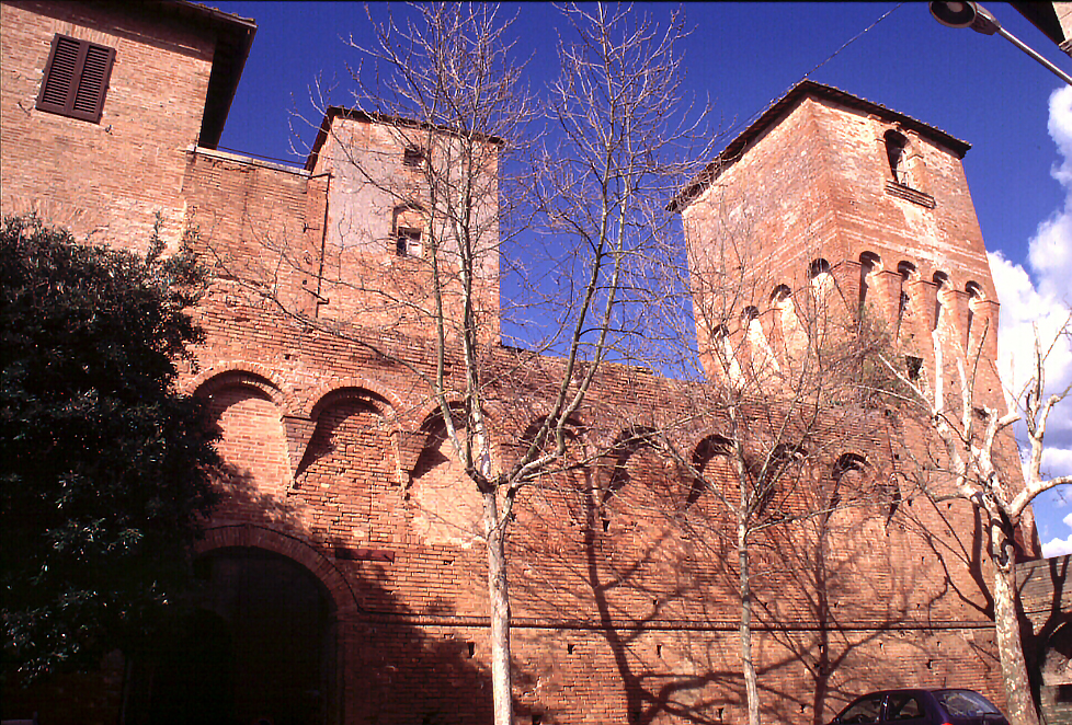
The complex was entirely build in red bricks. The original nucleus can be recognized in the so called 'farm-fortress', a great and high building with square shape and scarped walls located in the core of the architectural complex, characterized by the compact structures of the granaries and the two towers, endowed with machicoulis, sited at the corners of the southern side. On this side is opened the only gate that put in a little 'L' shaped inner courtyard. Here we find a second gate and we can still notice part of the wall walk.
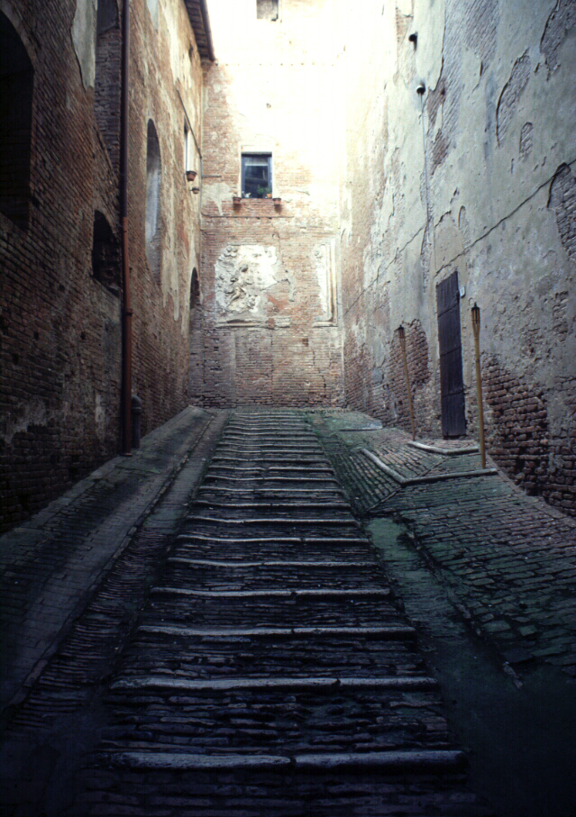
This entry was connected, through a hairpin-bend ramp [covered with a splendid cross vault] that allowed to reach the higher floors also with beasts of burden, with the inner storehouses. This formed part of the first ring of walls dating back to the 14th century, quite distinct from the second ring of the 16th century which encircled the present day village and of which the main gate still remains. Later on houses were built up against the walls filling in the space between the ring of walls and the farm. The complex was sacked in 1554 by the Austro-Hispanic armies. During the second half of the 16th century a roof was added to the granary and the towers, overlapping the preexisting crenellation. The addition of the imposing master homestead erected in between the farm-fortress and the first ring of walls dates back to the 17th century.