




How to reach
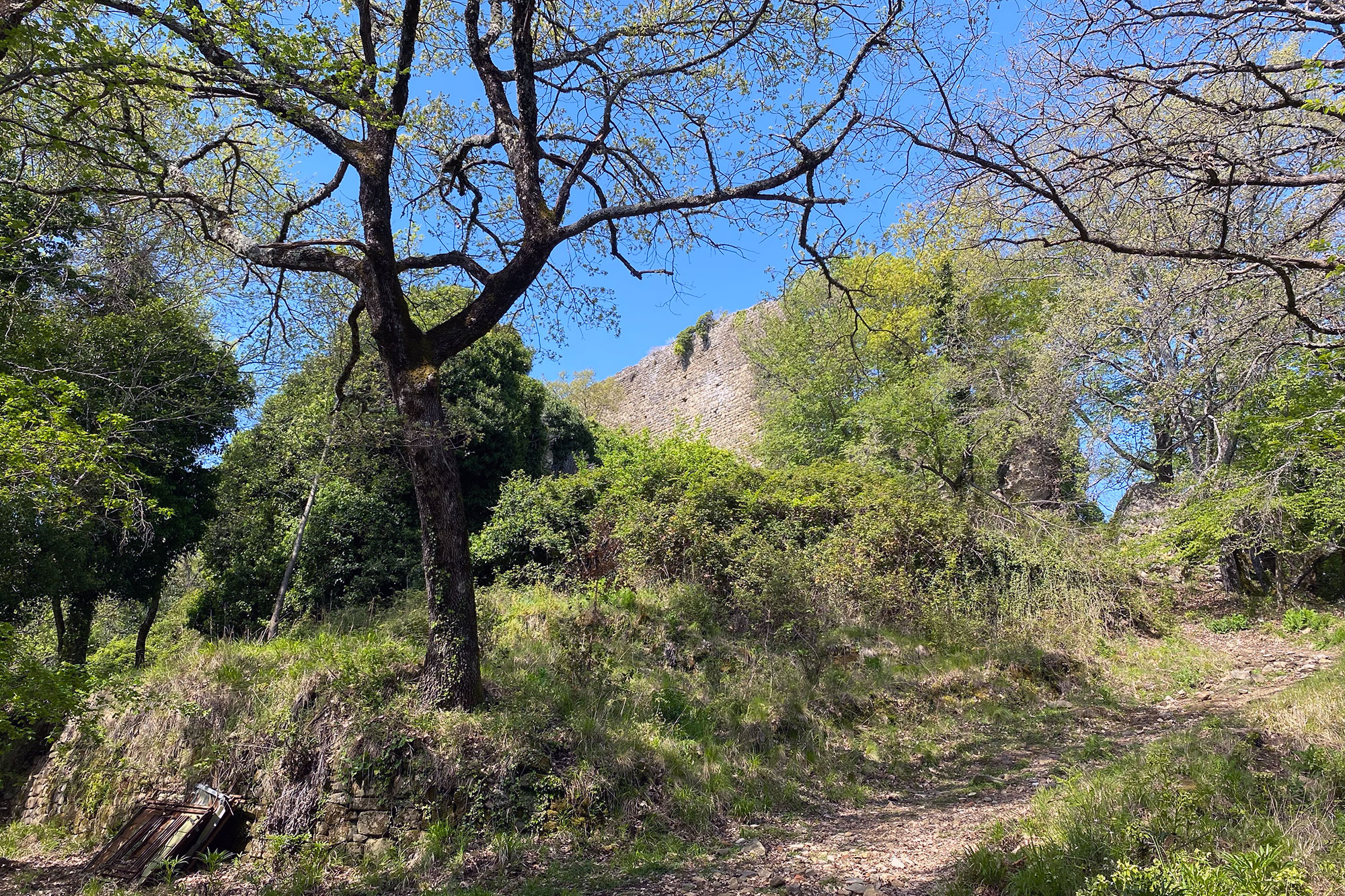
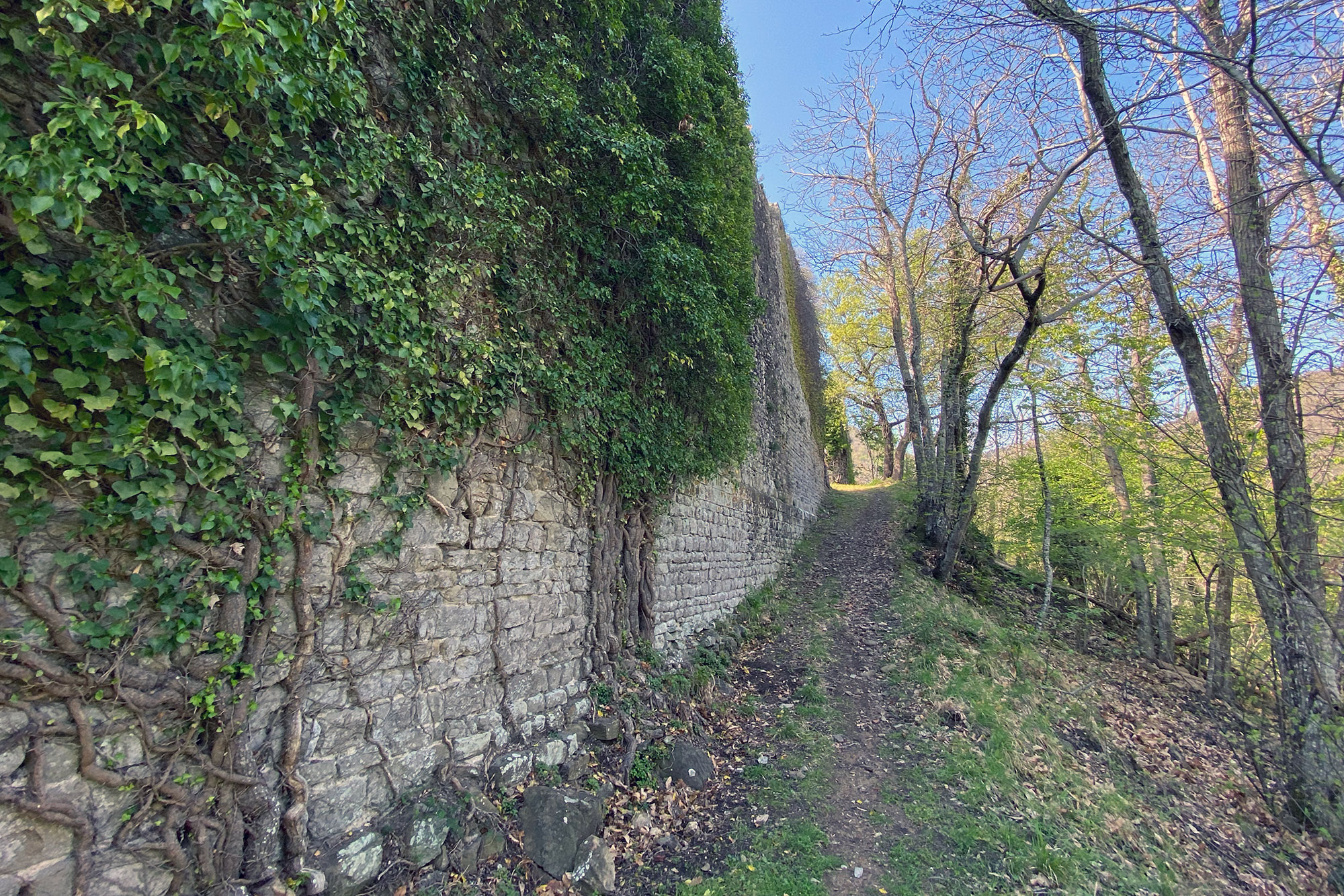
You may get to the castle by walking taking CAI path 27. Personally, I took the red/white trail marker from the Chianti side, parking my car in a lay-by on the left after of the main road after about a kilometre from Badia a Montemuro village. The distance is roughly 5.5 kilometres, with an elevation difference of 230 metres between the outbound and return trips. The path can also be followed beginning on the Valdarno side close to the village of Massa dei Sabbioni.
History
It is a common belief that the name of the castle derives from a family by the name of Domenichi, who built the fortress in its mediaeval form and are mentioned in the parchments of Badia a Coltibuono. However, it is more likely that the site, which contains evidence of a Roman-era settlement, simply adopted the Latin name "Mons Dominicus," which means "Mount of the Lord" or "Place of the Master."
A family from the village of Figline in the upper Valdarno area named Della Foresta acquired control of the castle around the beginning of the 14th century. They were able to consolidate some influence in this area. The Della Foresta family made significant financial investments in the building and enlargement of castles, both the branch that remained in Tuscany and the branch that acquired wealth in France. In their prime, a network of fortifications was constructed, connecting Pian Franzese, Tartigliese, Montedomenichi, and Badia di Montemuro, beginning at the family stronghold in Figline. These feudal lords harboured the Ghibellines who had fled Florence in 1308 in the castles of Montedomenichi and Pian Franzese. The sole fortification still visible is that of Montedomenichi, which attests to both its strength and isolation.
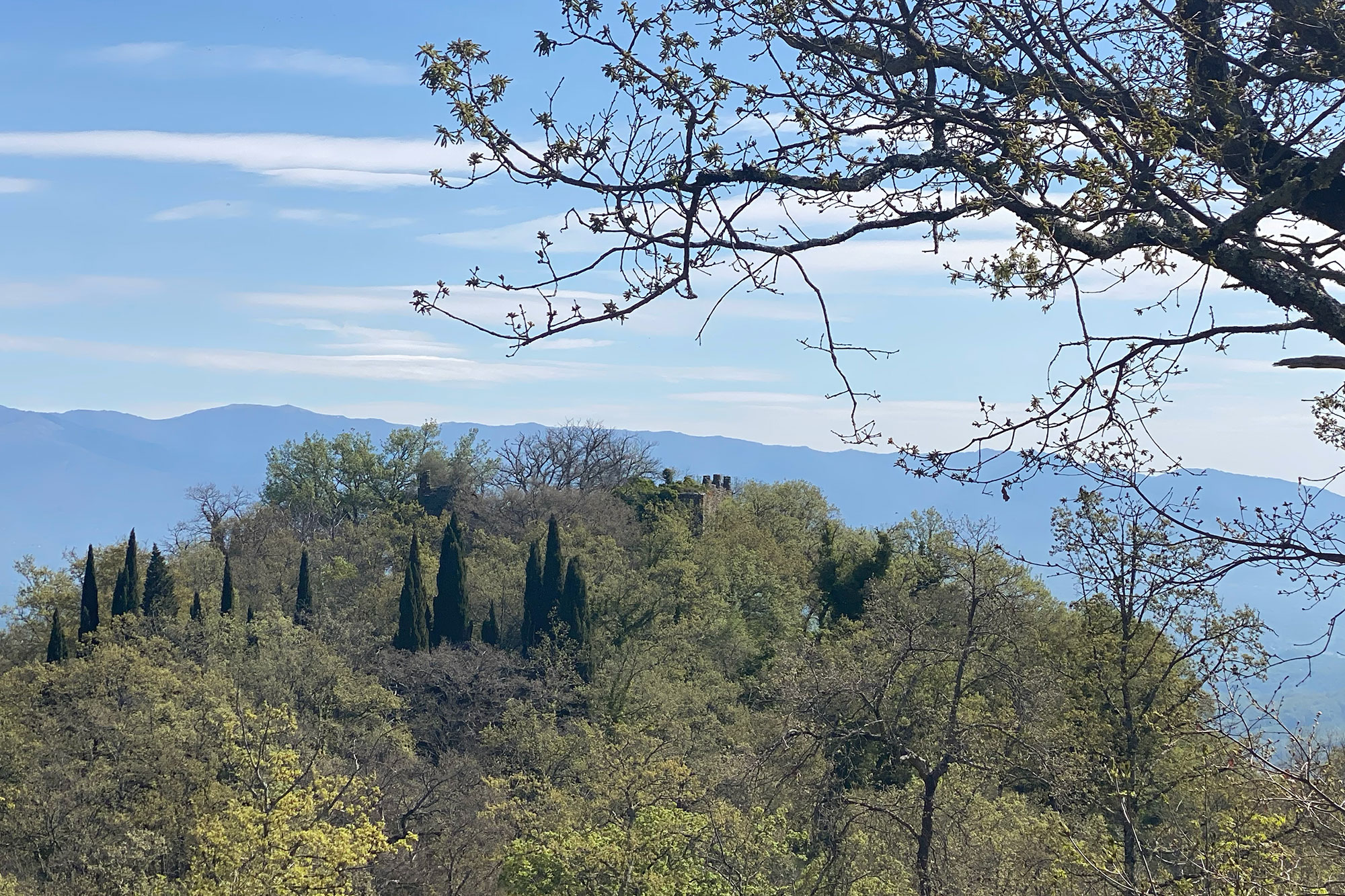
Due to its location on the border of the Florentine contado and opposed at the Sienese Castle of Volpaia, which is situated on the other side of the ridge, the castle has historically been the focal point of conflict between Florence and Siena. Because of this, after Florence purchased it in 1314 to use as a new stronghold, it was decided to destroy it in 1483 because, despite being strong, it was challenging to maintain due to being too exposed and isolated, preventing it from falling into the hands of the Sienese. Gunpowder was used for the demolition, and according to legend, fireworks could be seen all around the Valdarno.
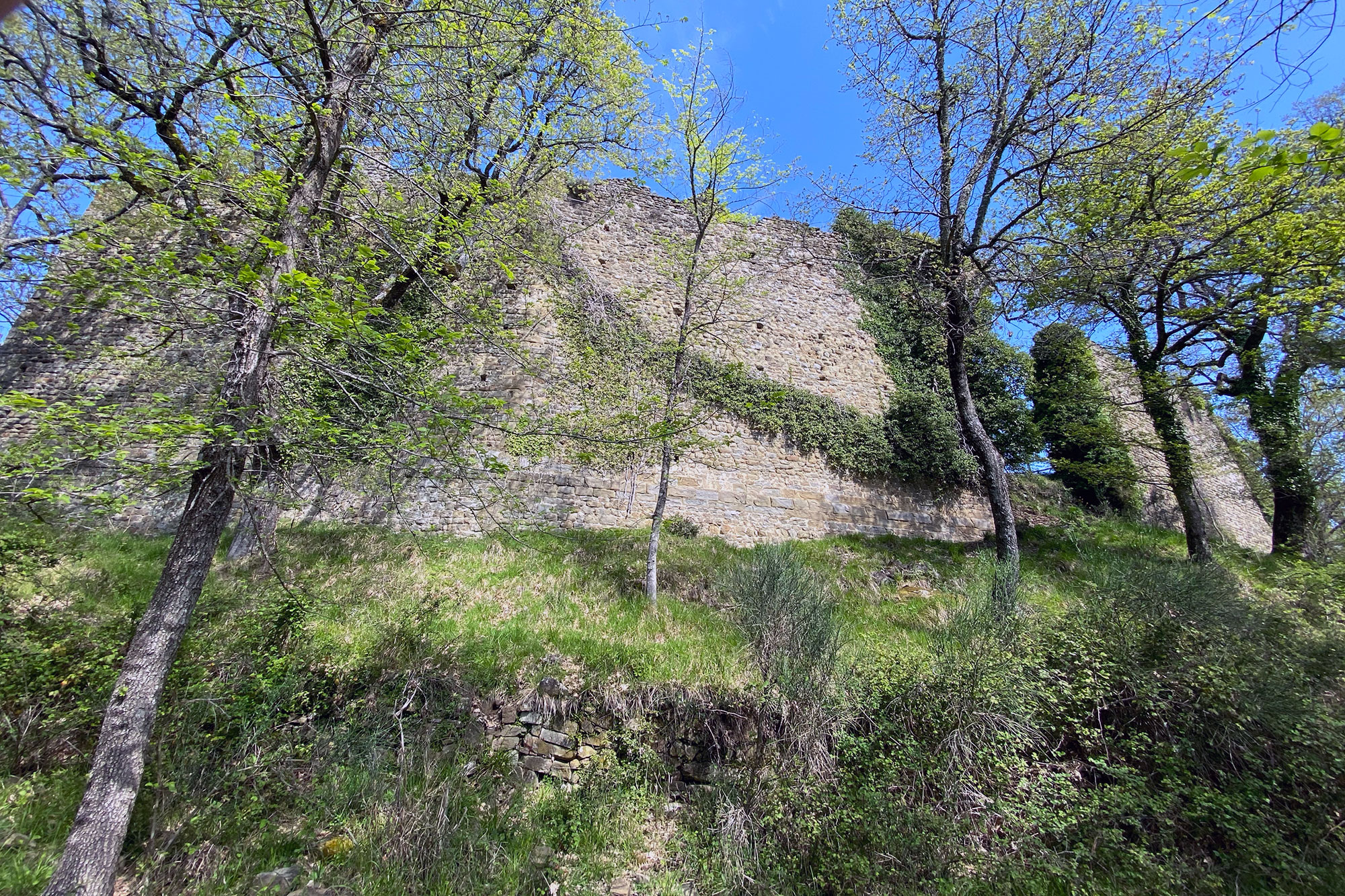
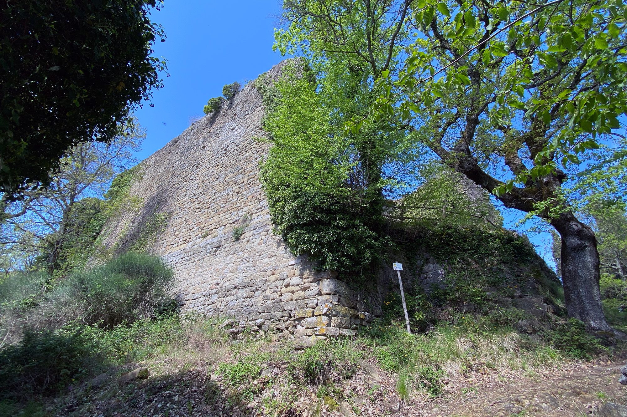
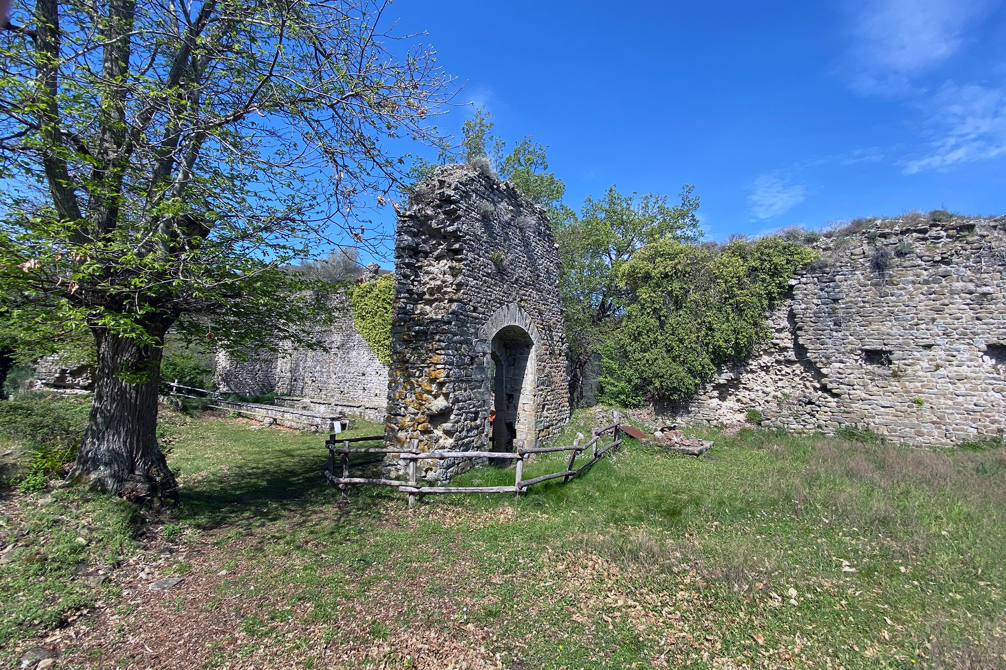
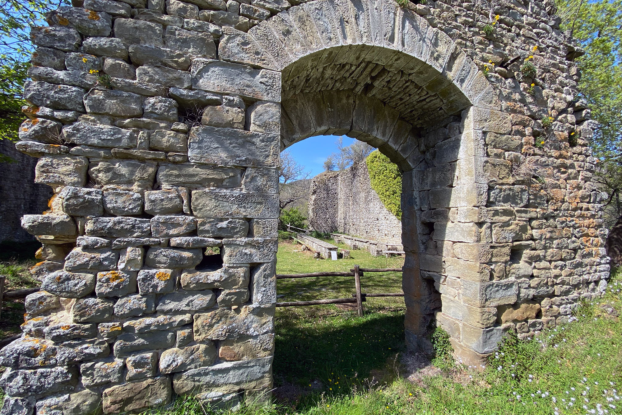
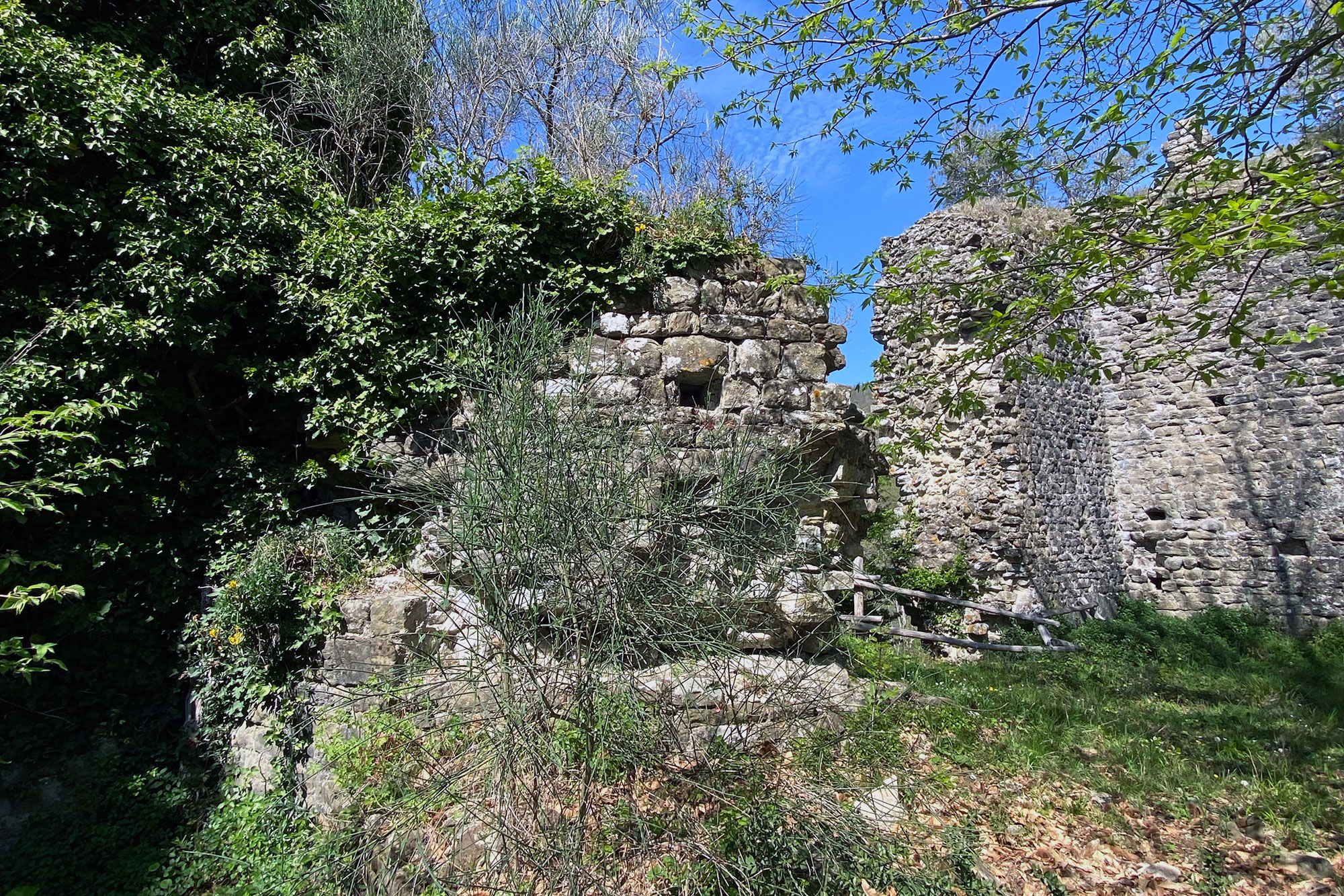
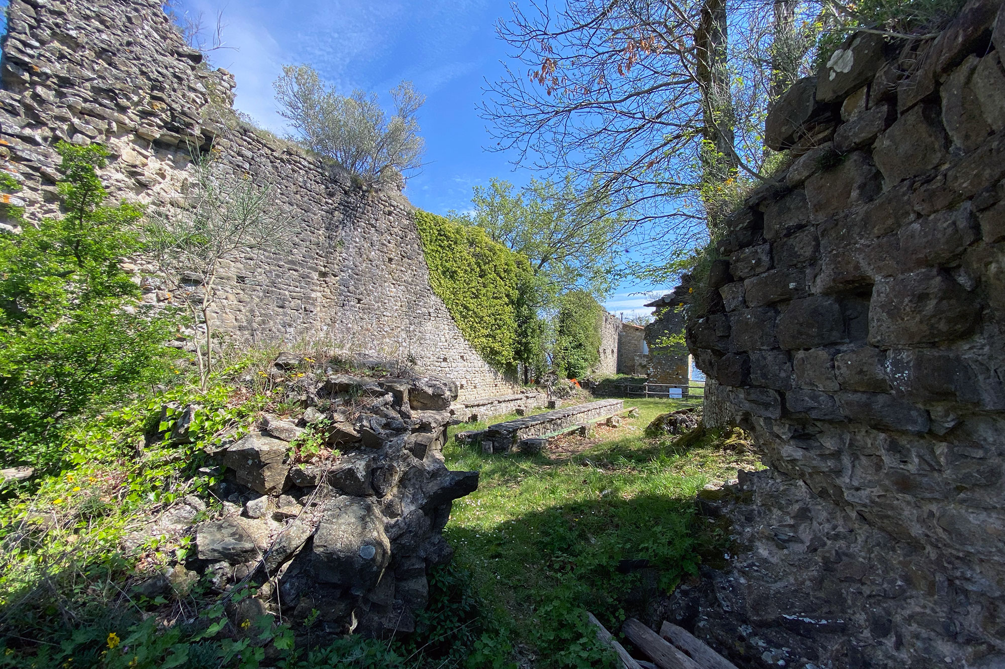
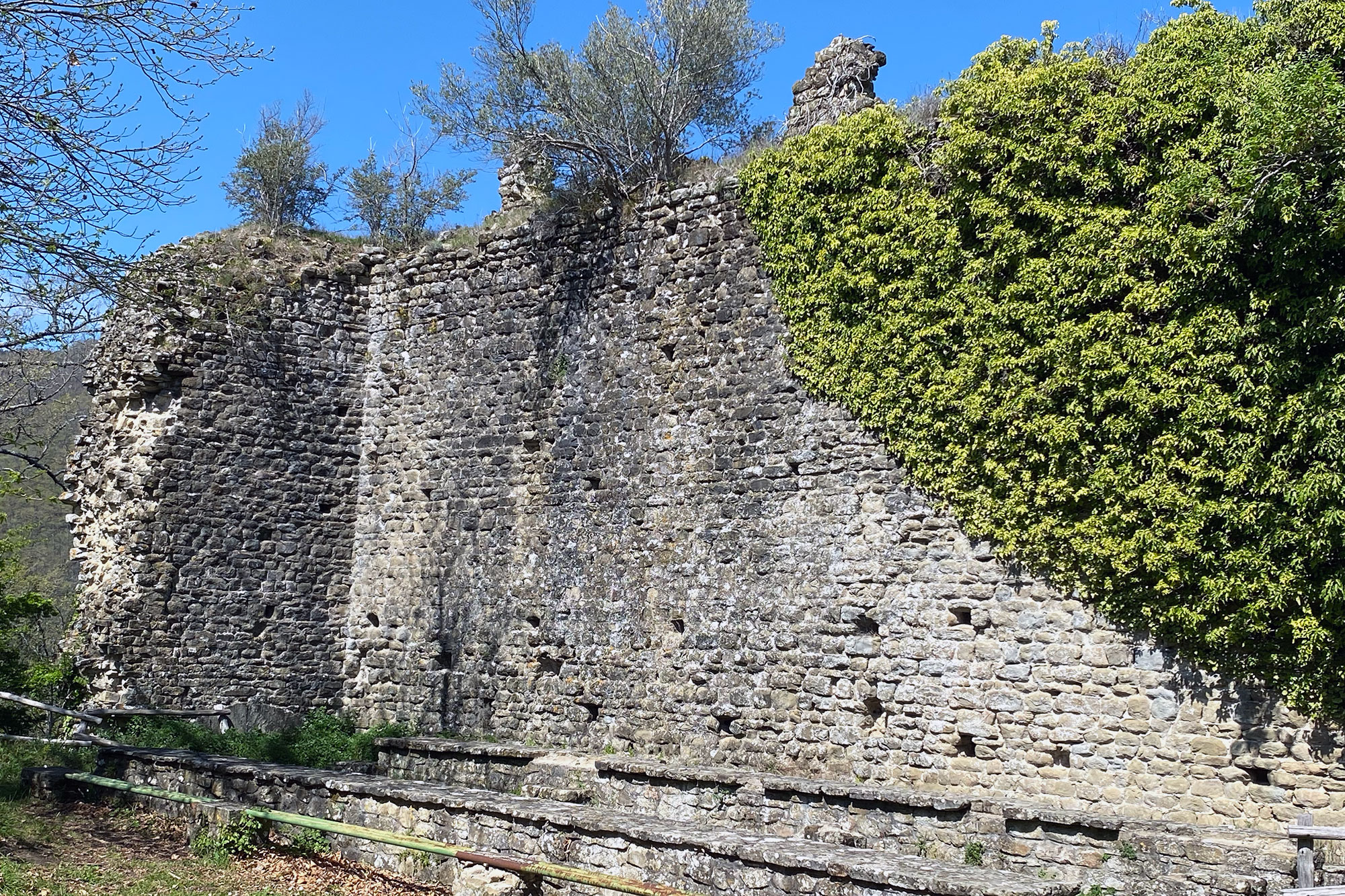
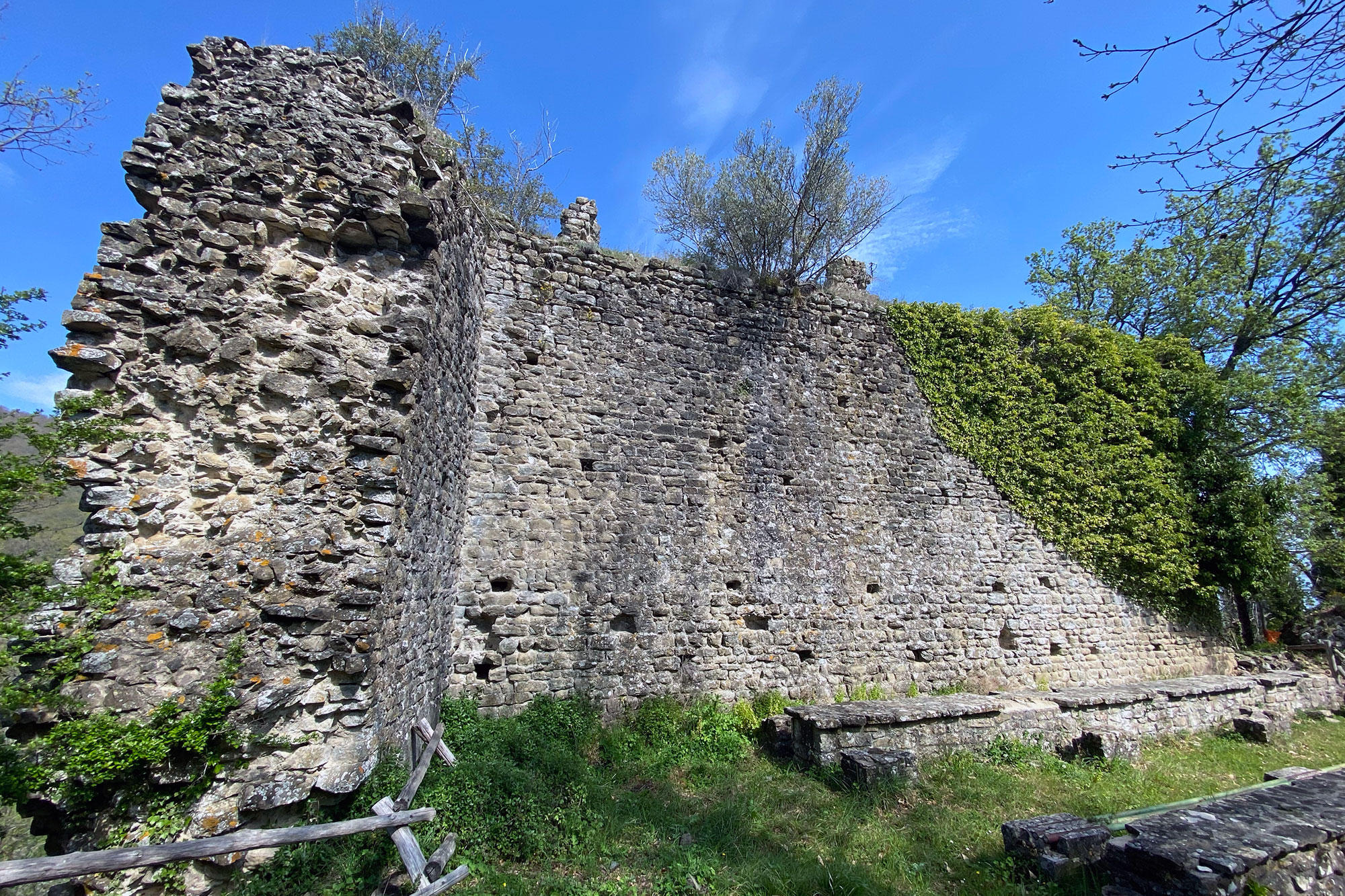
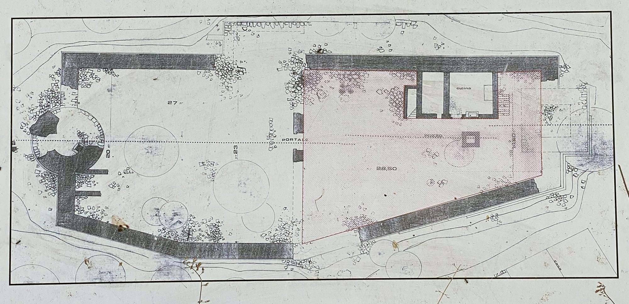
Despite being reduced to ruins, the fortress still exhibits signs of its former grandeur. The fortress has a rectangular shape that is almost trapezoidal due to the irregularity of the southern perimeter wall, high walls, and is divided into two enclosures that were constructed at different times and separated by an equally high curtain wall, of which only the round-arched gateway in the centre is still present. The one to the east served as a residence, with a structure and a well that are still in use today. It was also once equipped with a tall square tower, the remnants of which can be found strewn throughout the forest in front of it. The other was used as a parade ground; it was accessed from the main entrance on the north front, which is today completely disappeared. On the walls are partial remnants of the Guelph battlements, and on the west side is what is left of the mighty and extremely tall circular tower, which served as a watch tower and was built at a later date than the rest of the structure. The top portion of this tower was destroyed by gunpowder and is now embedded in the woods nine metres from where it was originally located. The guardhouse was located on the exterior at the southwest corner. A tiny church was also affixed to the castle.
Although the municipality of Cavriglia has partially restored the area in recent years, visitors are nevertheless cautioned to exercise caution because the area, while suggestive, can still be dangerous.