




How to reach
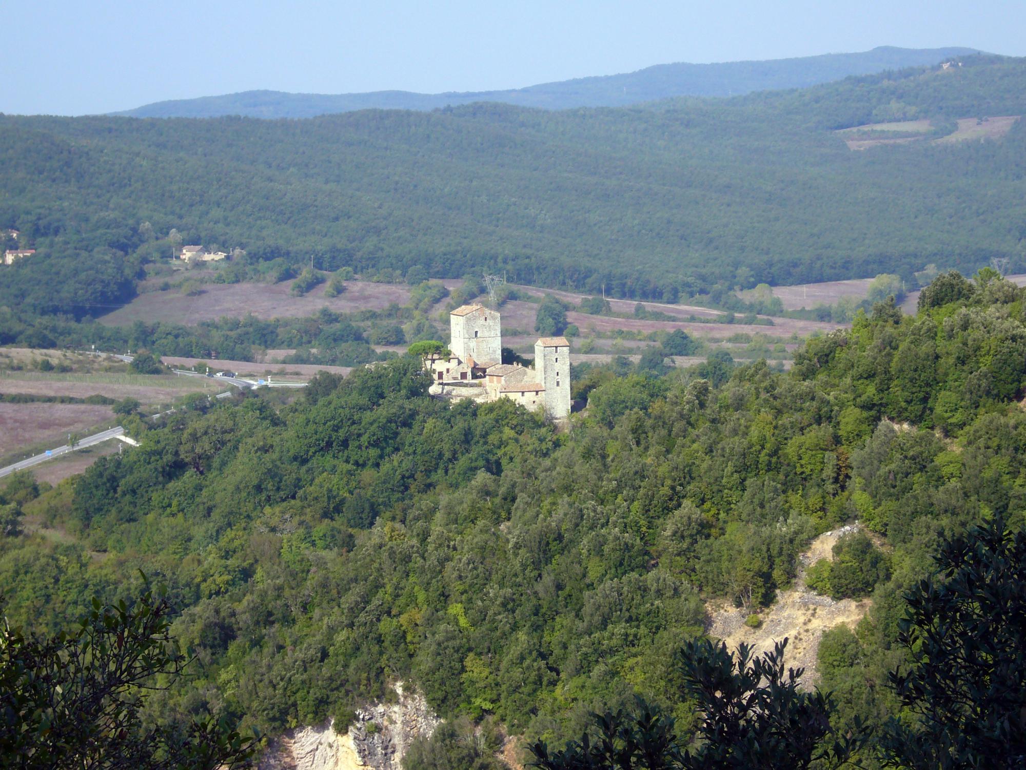
Monatarenti stands in a strategical position on the 'Montagnola Senese'. From Siena the castle can be reached following the SS73. About 1 km passed the village of Rosia, just before the crossroad with the SS541 for Colle Val d'Elsa, on your right you will find the indication for Montarrenti.
History
Recent archaeological excavations have dated the origin of Montarrenti between the second half of the 7th and the first half of the 8th century as a village of huts encircled by two timber palissades to defend one the lower and the second one the higher part of the relief. The hamlet became, in the Carolingian age, a storage center for the agricultural products of the area. Between the 8th and the 9th centuries, the palissade at the top of the hill was replaced by a stone wall.
The most ancient information about Montarrenti (also called Monte Liurenti or Monte Lirrenti) dates back to 1156, when the Bishop of Volterra, Galgano Pannocchieschi, named the locality in a bull.
In 1165, the person of "Baverii de Monte Arrenti" was named in other documents of the same Volterra's Bishop. In 1178, Cattaneo da Montarrenti was designated for the city-state of Siena, administrator of the rich silver mines of the zone.
Documents of the years 1200-1216, let us suppose the existence of strong family ties between the powerful Lords of Frosini (a nearby castle), descending from Della Gherardesca Counts, and the Lombards nobles residing in Montarrenti and connected with the Aldobrandeschi family.
At the beginning of 13th century, Siena expanded its dominion on great part of southern Tuscany and on 5th September 1217 the nobles and three consuls of Montarrenti sworn fidelity to Sienese Republic. From this moment on Siena sent at the castle, every six months, its Podesta. In 1271 the administartive unit of Montarrenti was closed, due to the great demographic decrease. This confirms that the castle-planning reached its height between the end of 12th and the first half of 14th century.
The fortified settlement was formed by two parts: the castle itself with the keep on the top of the hill and the underlying village occupied by the peasant and little landowner. Thanks to the cadastral survey of 1317 we know of the existence inside the castle of two palaces, identifiable with the two still intact high towers, of a main road (via comunis) that lead inside the castle, other two roads of the village running around the slope, charcoal kiln and various civil houses: all encircled by a stone curtain. The village had an elliptical shape and was developed on the slopes of the hill.
After the year 1317 the notices about the castle are few and related only to ownership changes. In some documents dating 1720 we learn that Montarrenti was already in ruins: the walls of the village's houses were collapsed, the two main towers were occupied by the last inhabitants but in the Church of Santa Maria the Holy Mass was no more officiated.
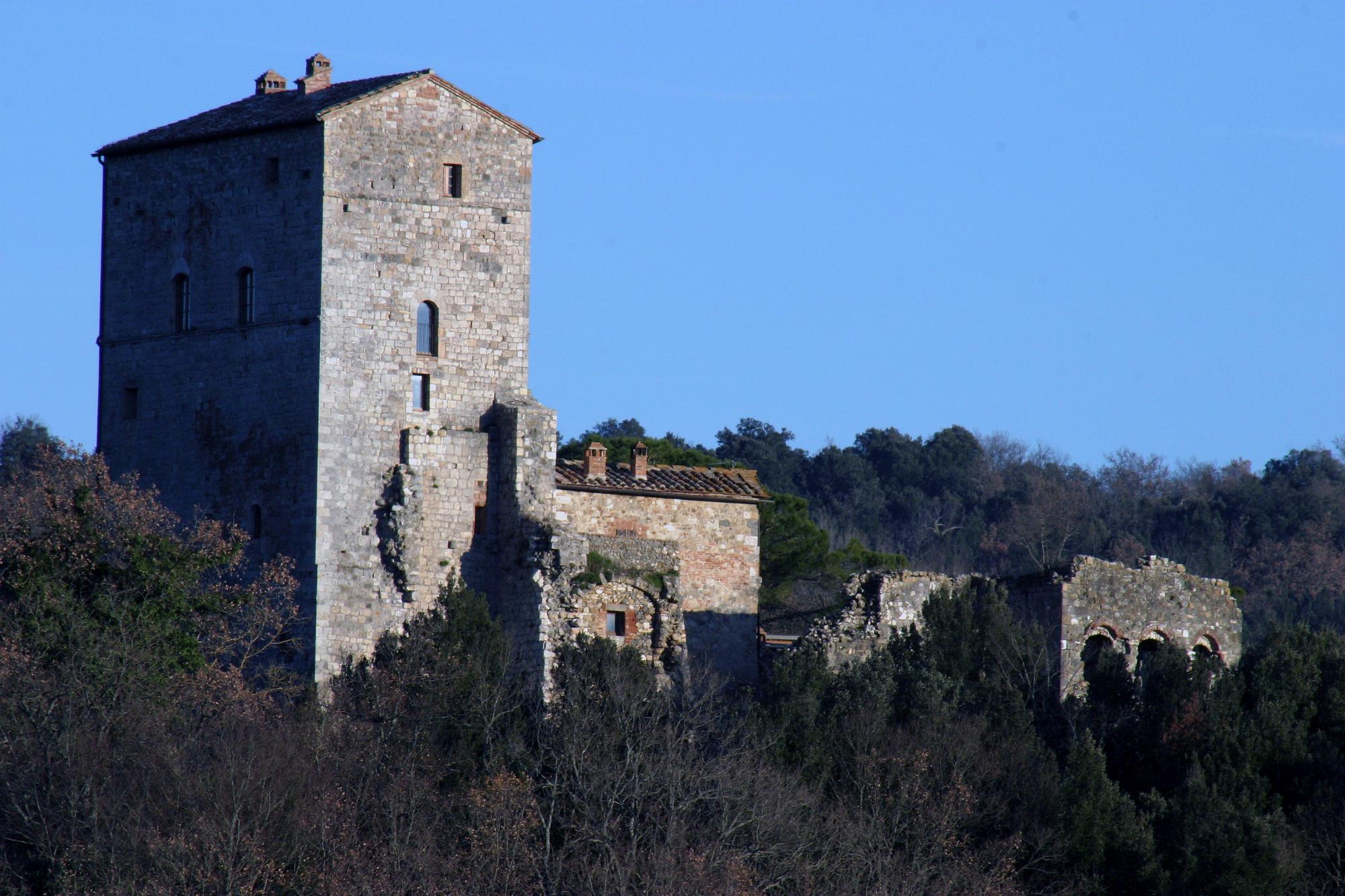
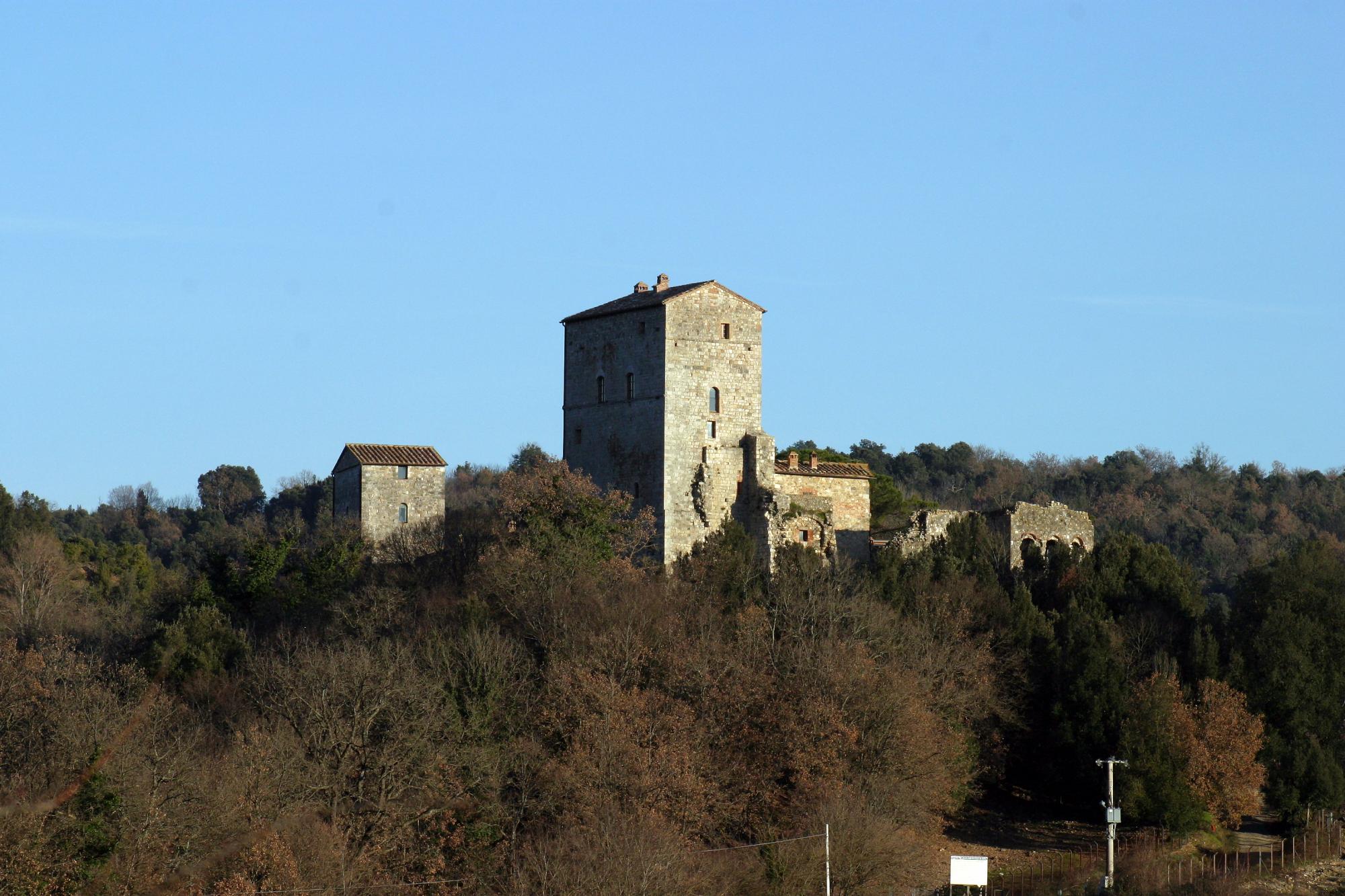
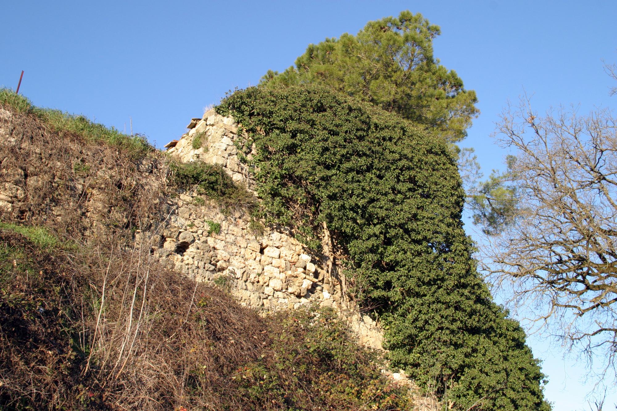
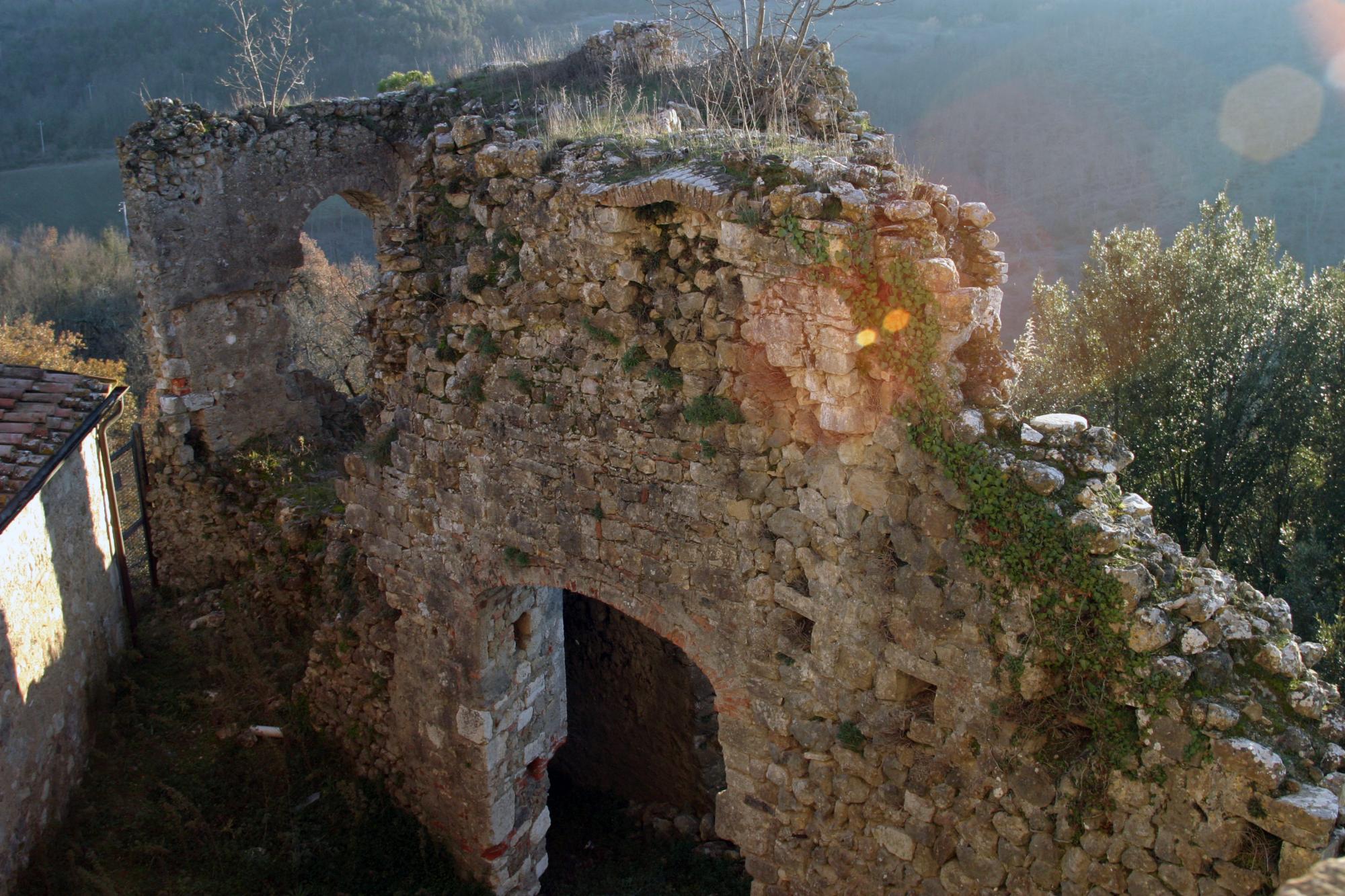
Today the castle's hill is still dominated by two massive towers built in worked stone with fine carved details like round arched windows, gothic windows, loopholes, gothic and Romanesque style portals.
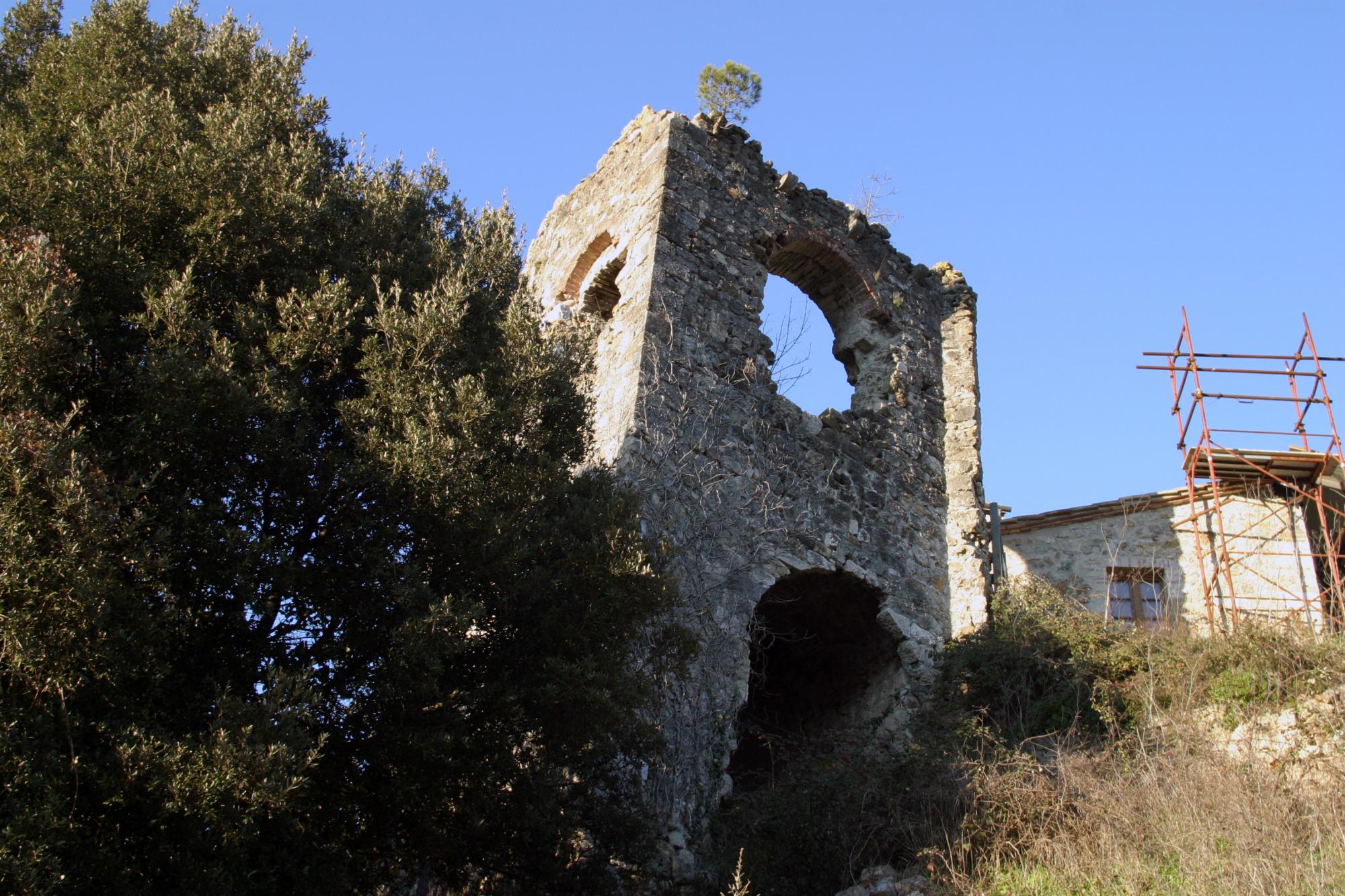
The highest tower (also called 'A' or 'Palatium') was formerly crenellated, and it is supposed that also the other ('B') was endowed with battlements. The last floor of each was then replaced with a sloping roof. The ruins of the main gate are still visible , together with part of the inner walled curtain, it's still recognizable the 'right hand' way to reach from outside. All around the slopes of the hill the remnants of the outer walled curtain are still visibles.
The 'Palatium' stands in the north-west corner of the Cassero and was built using part of castle's walls, it was also connected with the wall walk. Until the 14th century the Palatium was modified many times, first raised and crenellated then slowly transformed in rural building. The other tower was probably built at the end of the 12th century along the western walls. Also this construction follows the development of the Palatium. The area is private and in the last years has been object of archeological excavations.