
How to reach
The fortress of the Verruca rises in the municipality of Calci, province of Pisa, on the top of the Mount Verruca. It can be reached following the Motorway Florence-Pisa-Leghorn (FI-PI-LI), exit toward Cascina, continuing until Vicopisano. Here, just beside the cemetery, starts the country road 'Strada della Verruca' that leads nearby the bottom of the rocky spur where the fortress stands, leave the car at the ruins of the 'Monastery of S.Michele' and continue by foot on the path in the wood.
History
The Fortress, or Rocca della Verruca, crowns a rocky spur at the summit of the homonymous mount at a height of 540 meters. Its origin and history are strictly connected to those of the town of Calci, which rises at the center of the underlying valley. Calci has always been deeply connected to the neighboring and powerful city of Pisa and to all the wars that have interested it during the centuries.
The documented history of the settlements in this area dates back to 780. Since then, the territory has been defended by a fortress situated in the place of the Rocca, in an ideal position to control the river Arno and its lowland up to the sea. For this reason, the fortress of Verruca was always an impregnable stronghold for all the armies and political powers interested in controlling these lands. Many famous and bloody battles were fought in the 'calcesano' (the name of this territory): in 1288 between Pisane Guelphs and the Lucchese army; in 1328 there was the German invasion of Ludovico of Bavaria; in 1363 the Florentine invasion; in 1369 the invasion of the troops of Charles IV of Bohemia; and in 1375 of those of the English commander John Hawkwood (Giovanni Acuto). In 1402, Pisa was conquered by the Florentines, and the Verruca, the last rampart of resistance, was conquered and destroyed to avoid that it would return to be a menace. In 1503, Pisa rose up, and the war interested the fortress again. The Florentine troops were forced to regain the Verruca, the heart of the resistance. The fortress surrendered after a long and bloody siege on June 18 of the same year, and it was the end of all the hopes of independence for Pisa, which definitely capitulated in Florentine hands six years later.
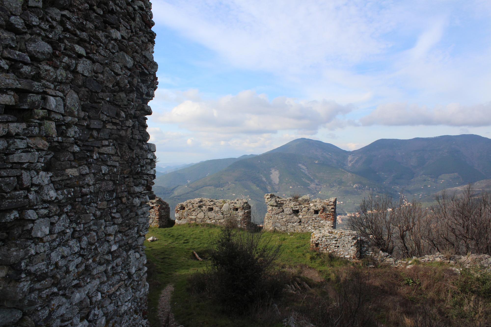
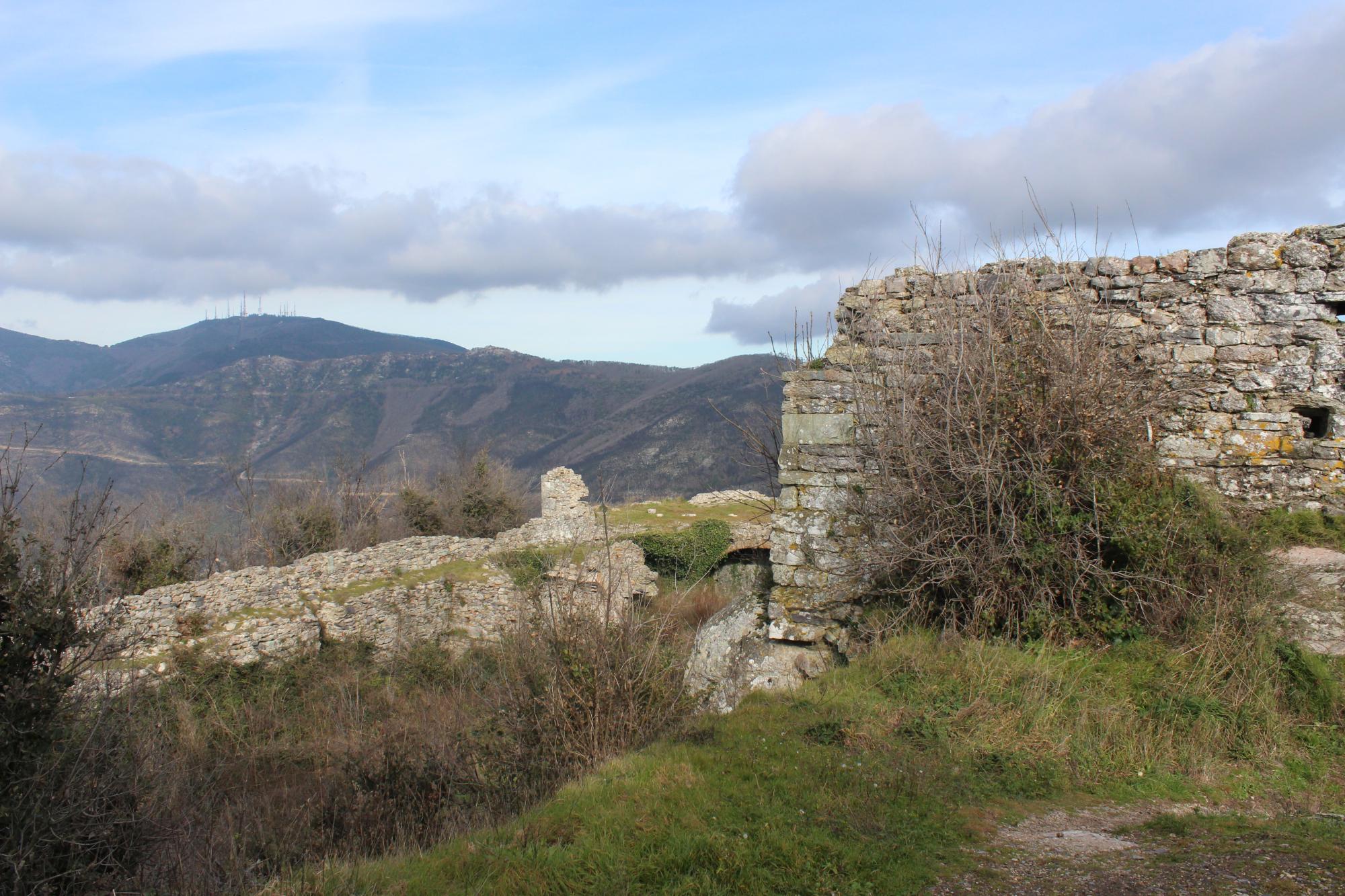
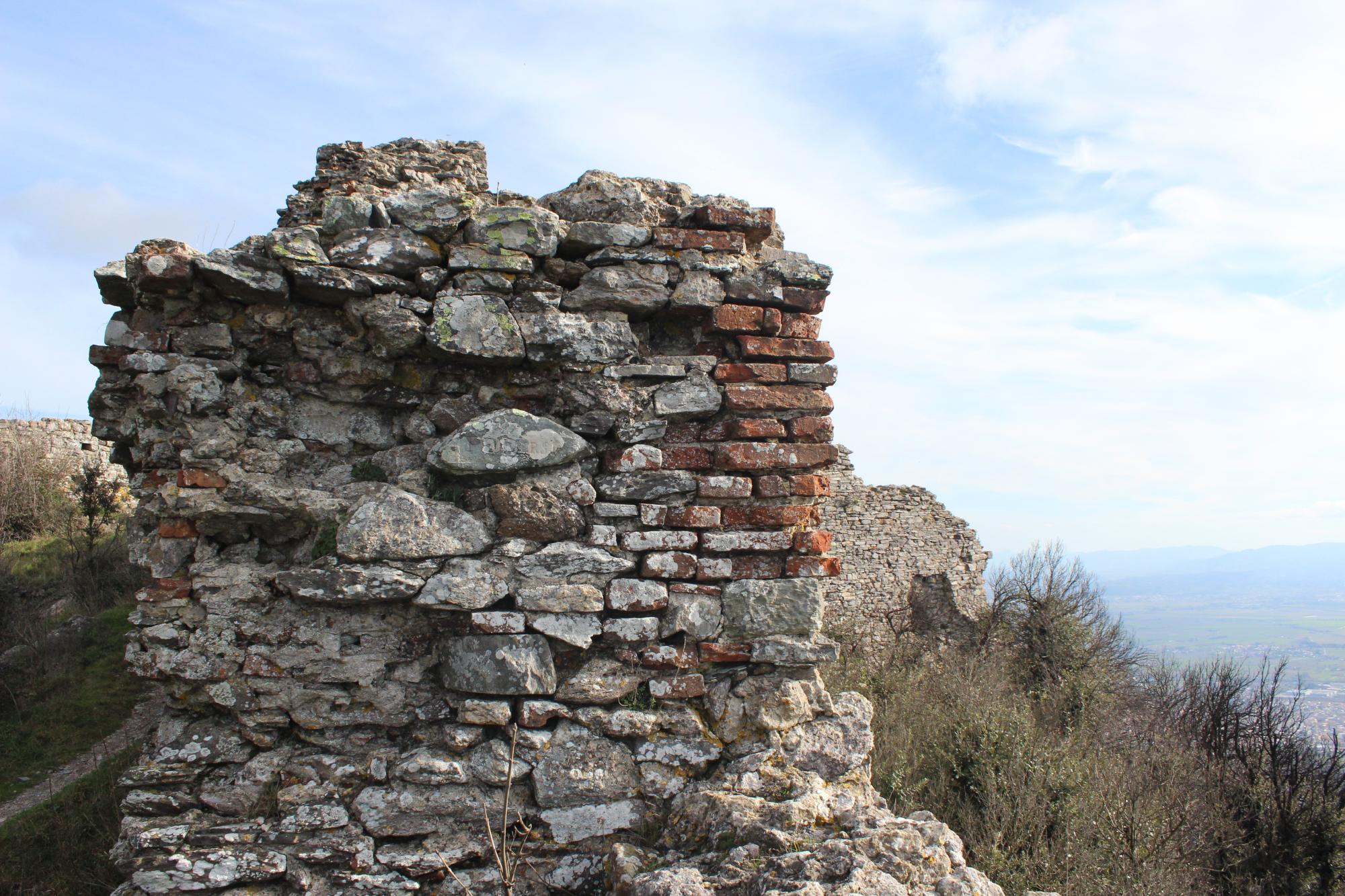
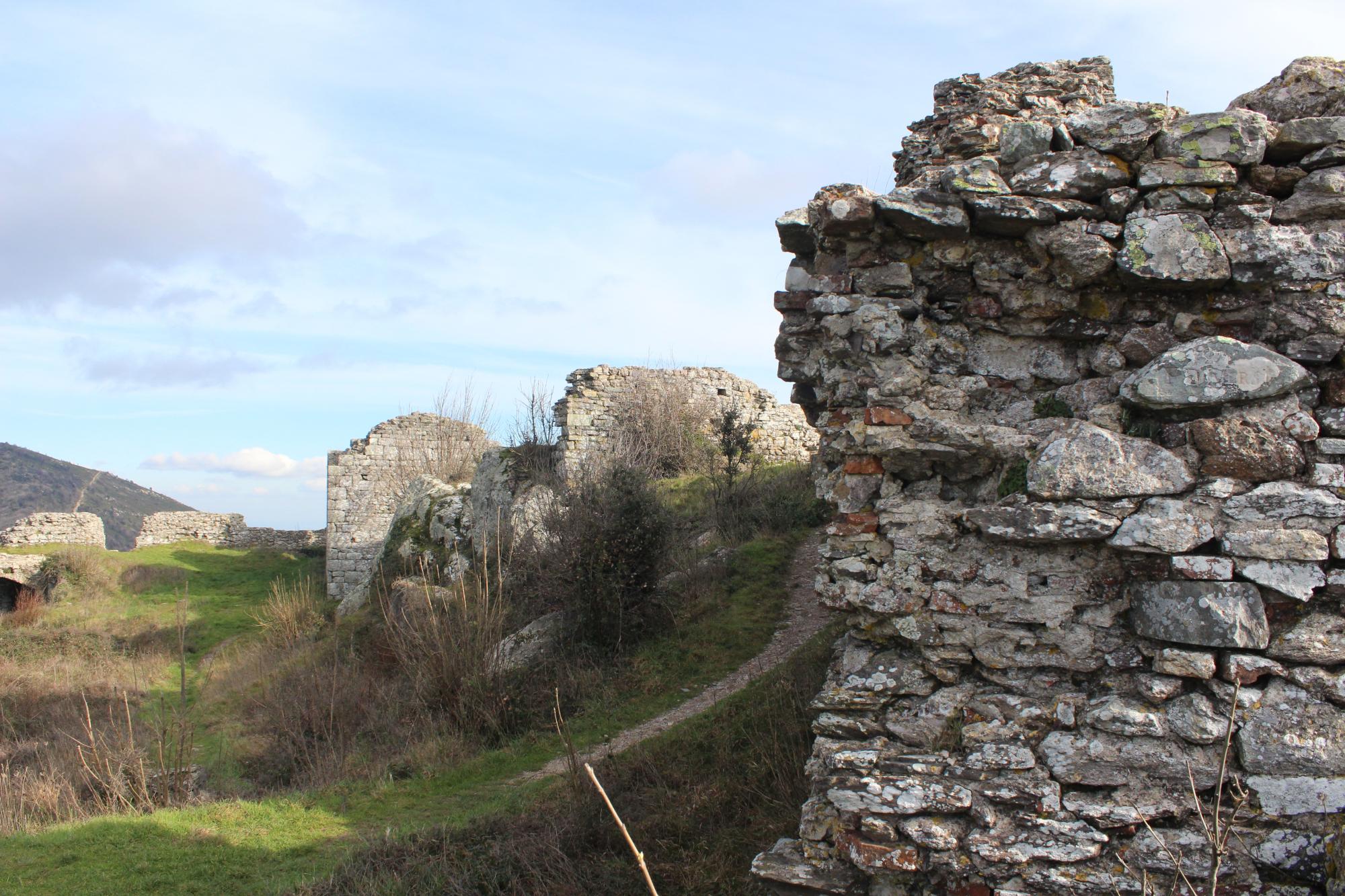
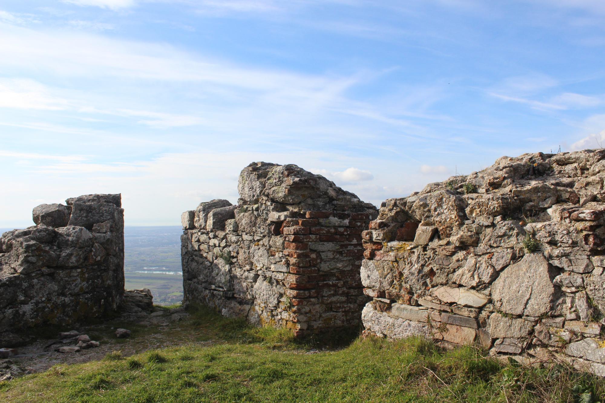
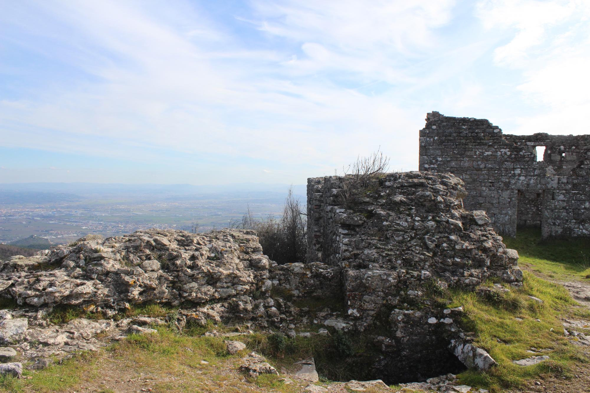
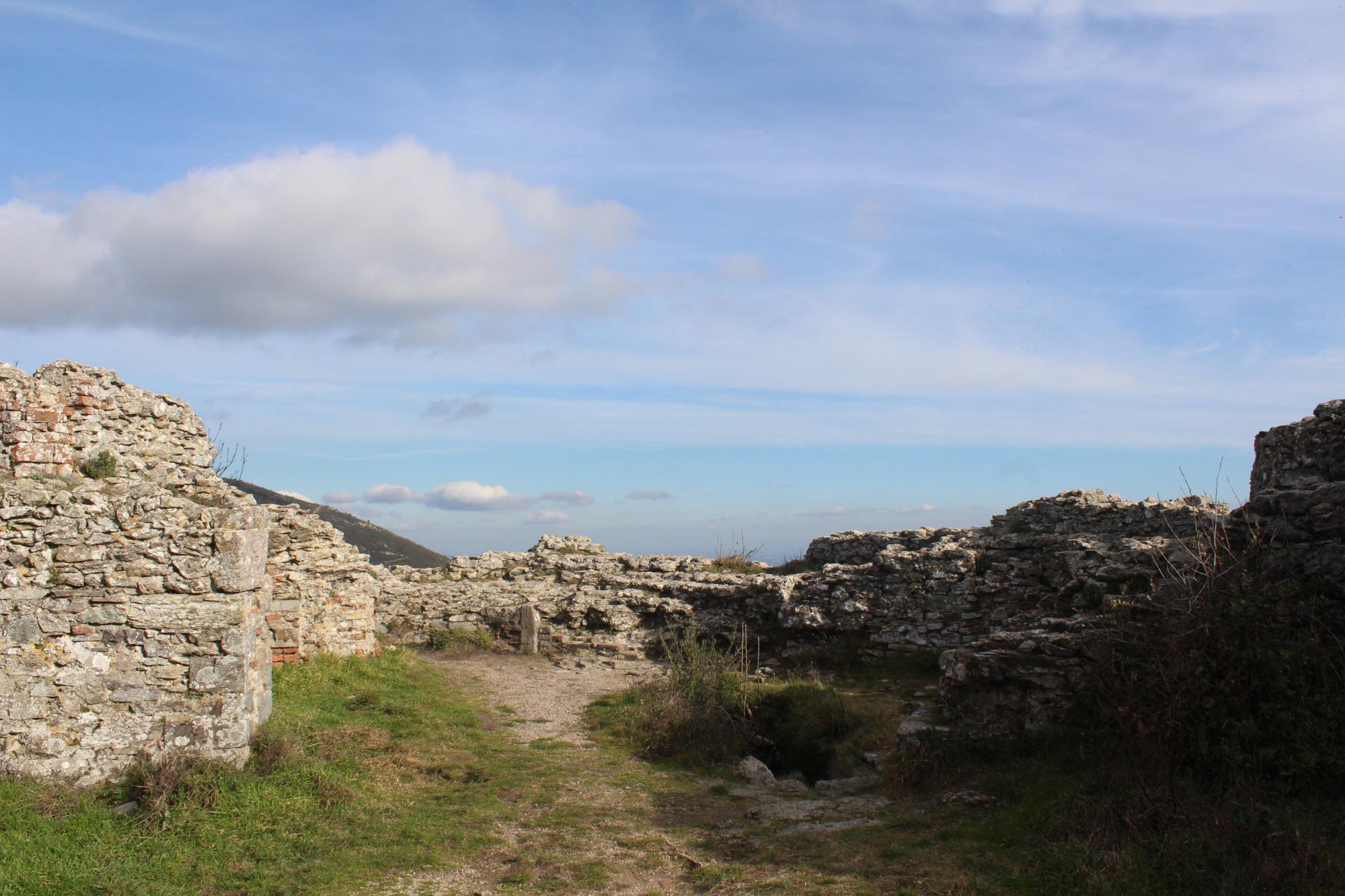
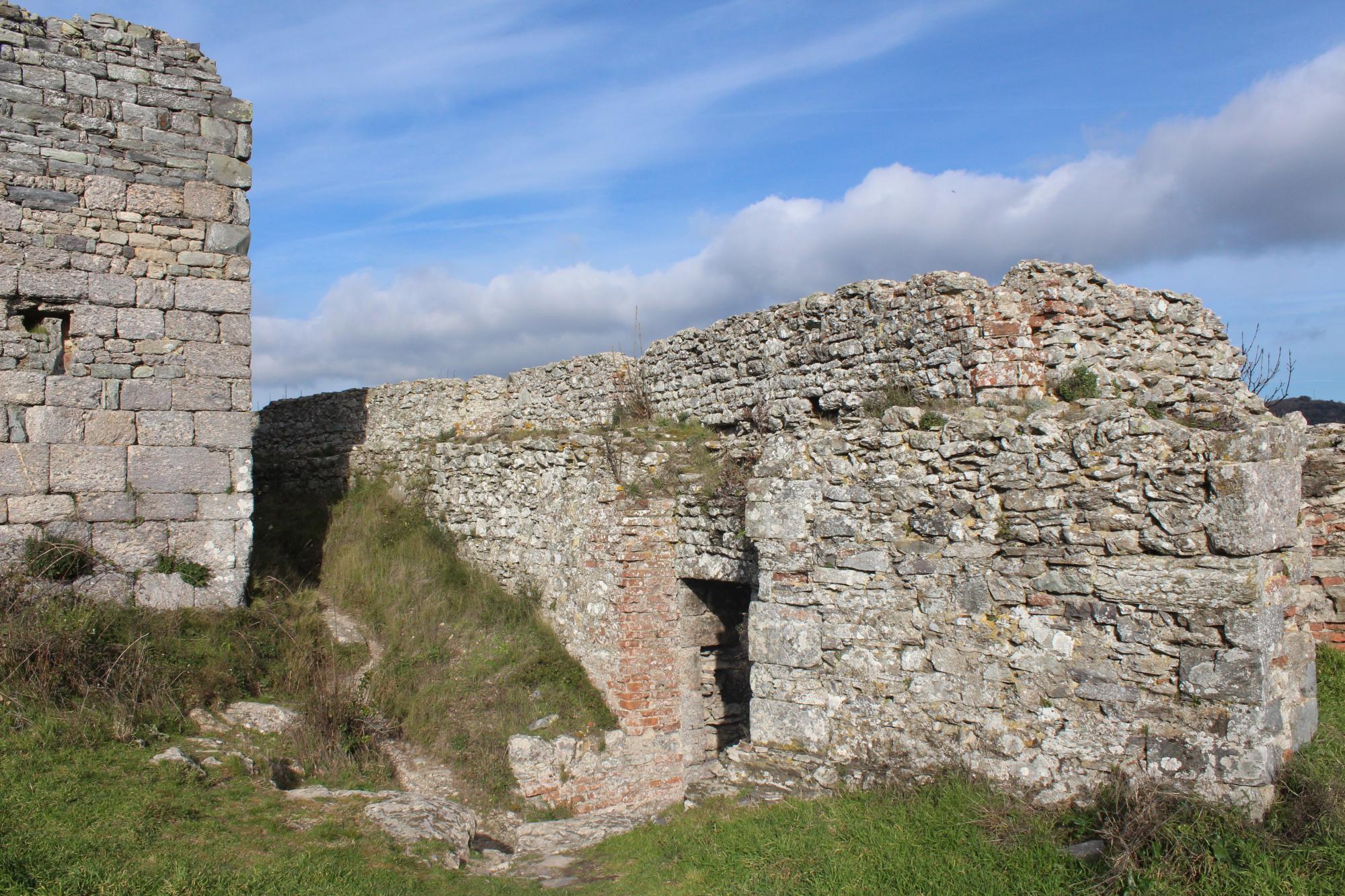
Nowadays, the form of the fortress is the result of the strengthening works performed after this war. The Verruca is a non-homogeneous construction because of the different phases and the different architects that took care of it. The first thing that can be noticed is that its walls are one of the few examples of bastions erected with melted stone instead of the characteristic bricks used at the time for these kinds of works. The cut stones are used only for the angles and in reduced quantity. The construction was mainly performed carelessly and without the usual respect for proportions, with an excessive hurry caused by the necessity of the Florentine to make defensible this strategical site to definitively subjugate Pisa.
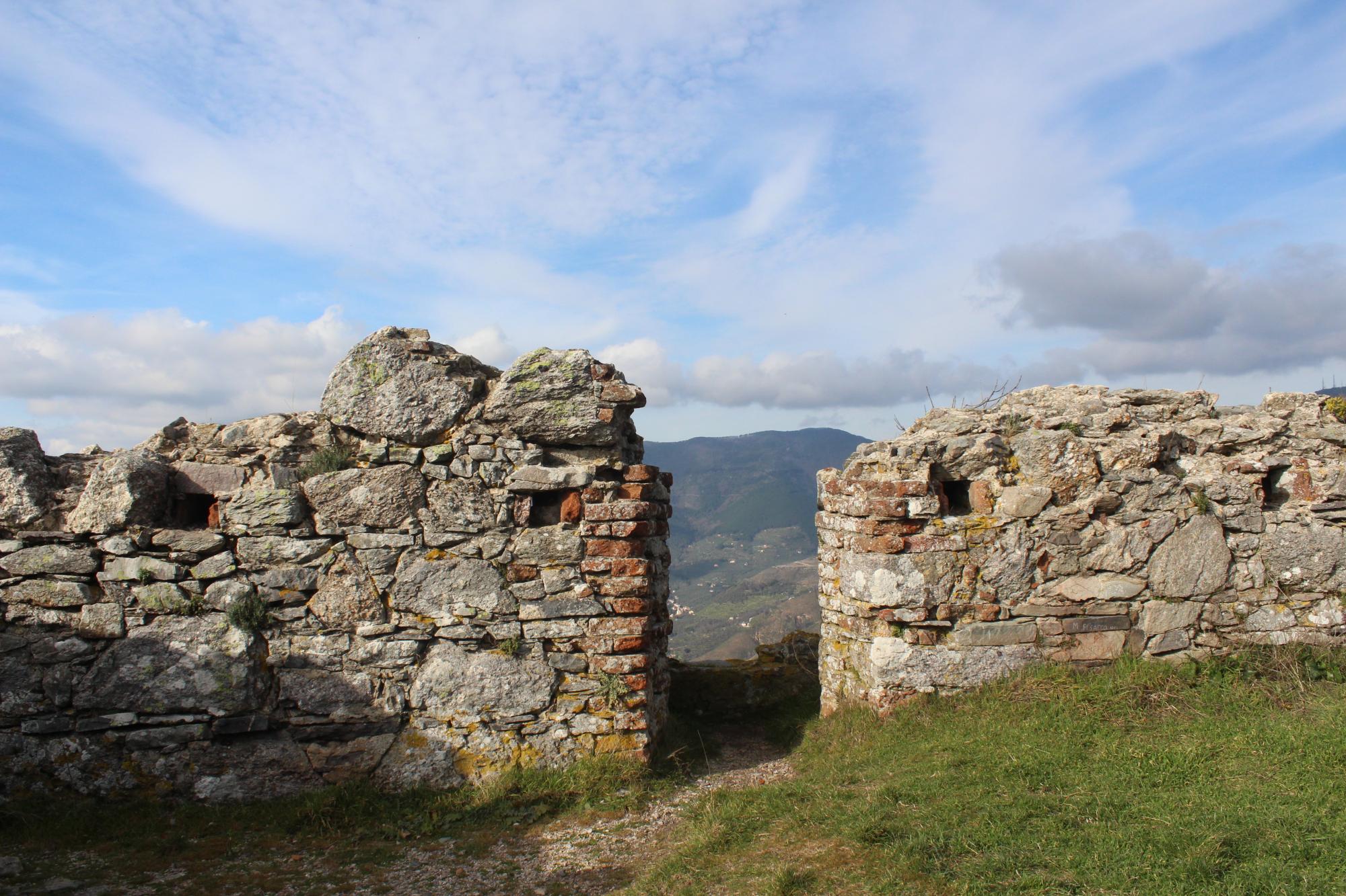
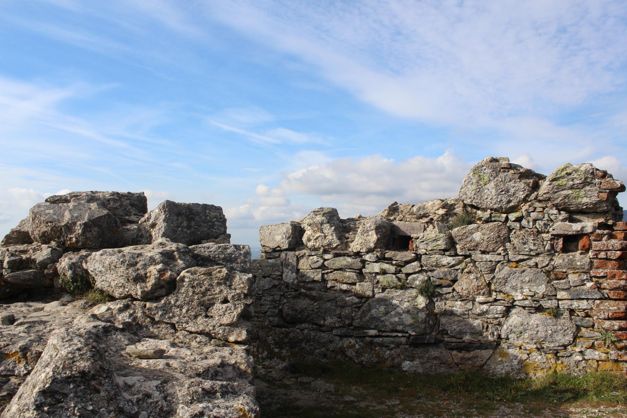
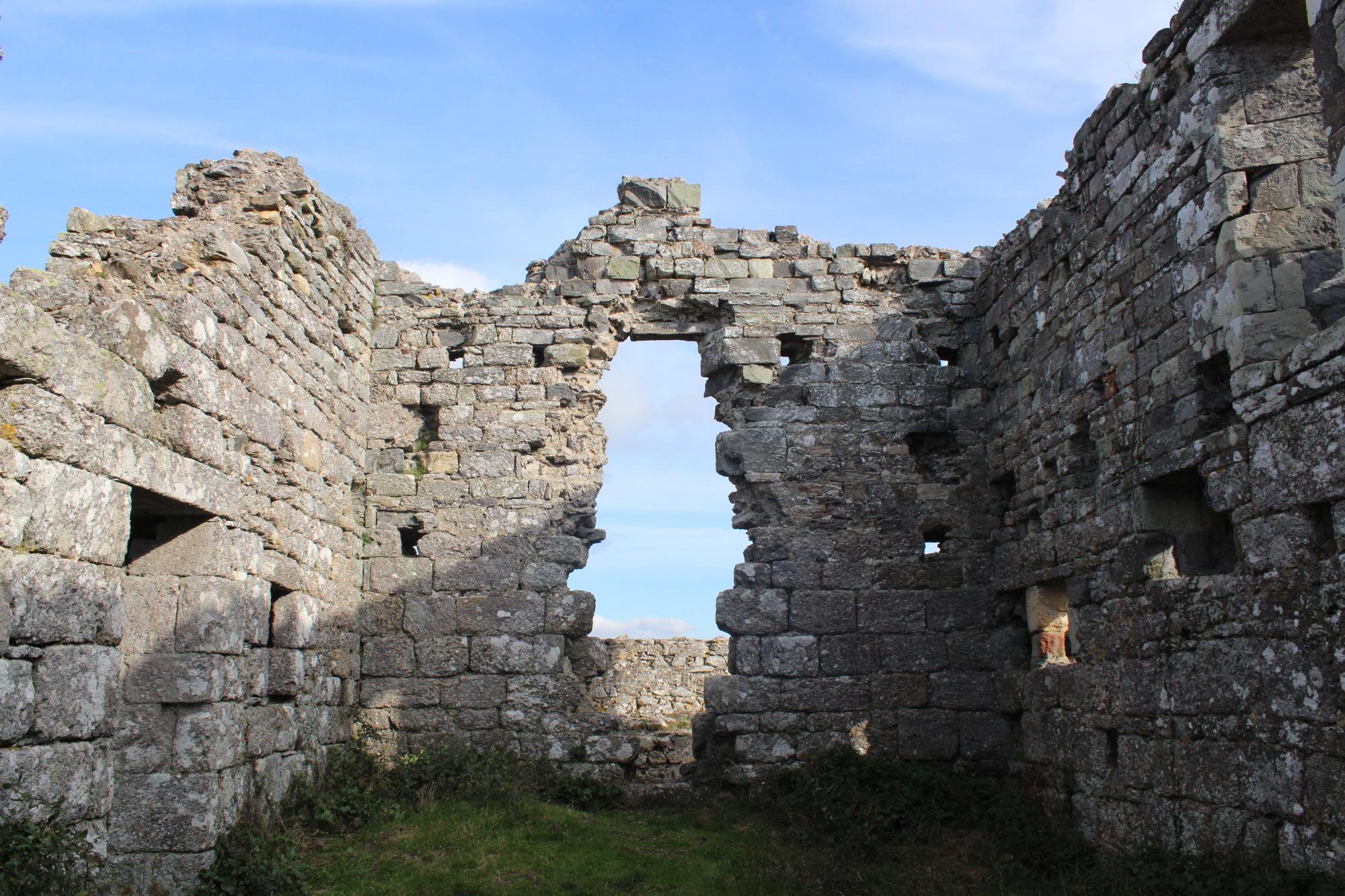
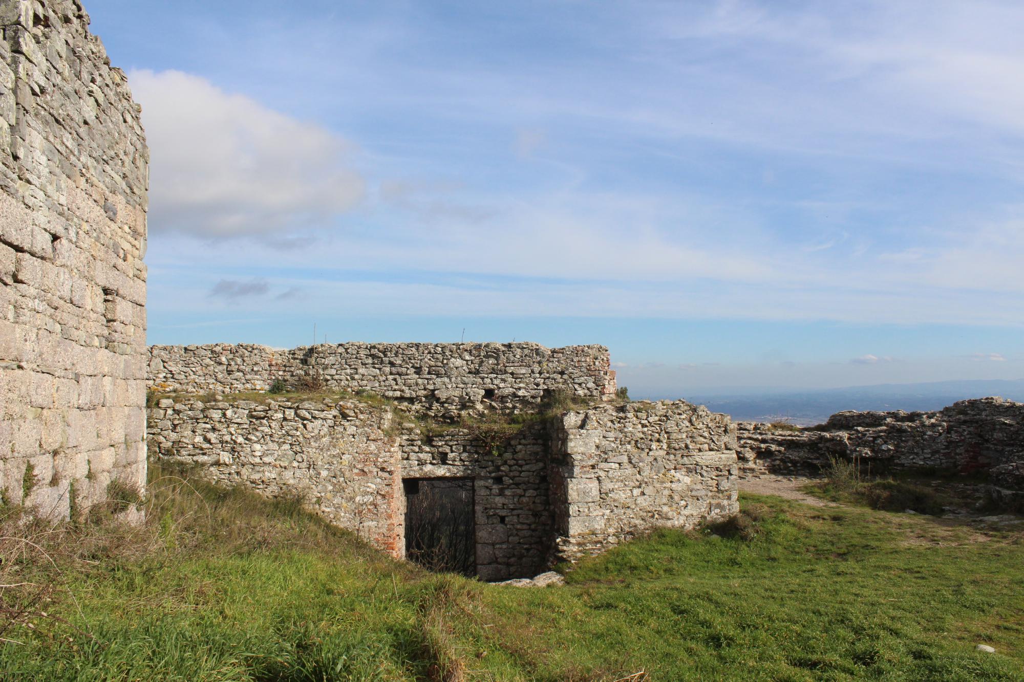
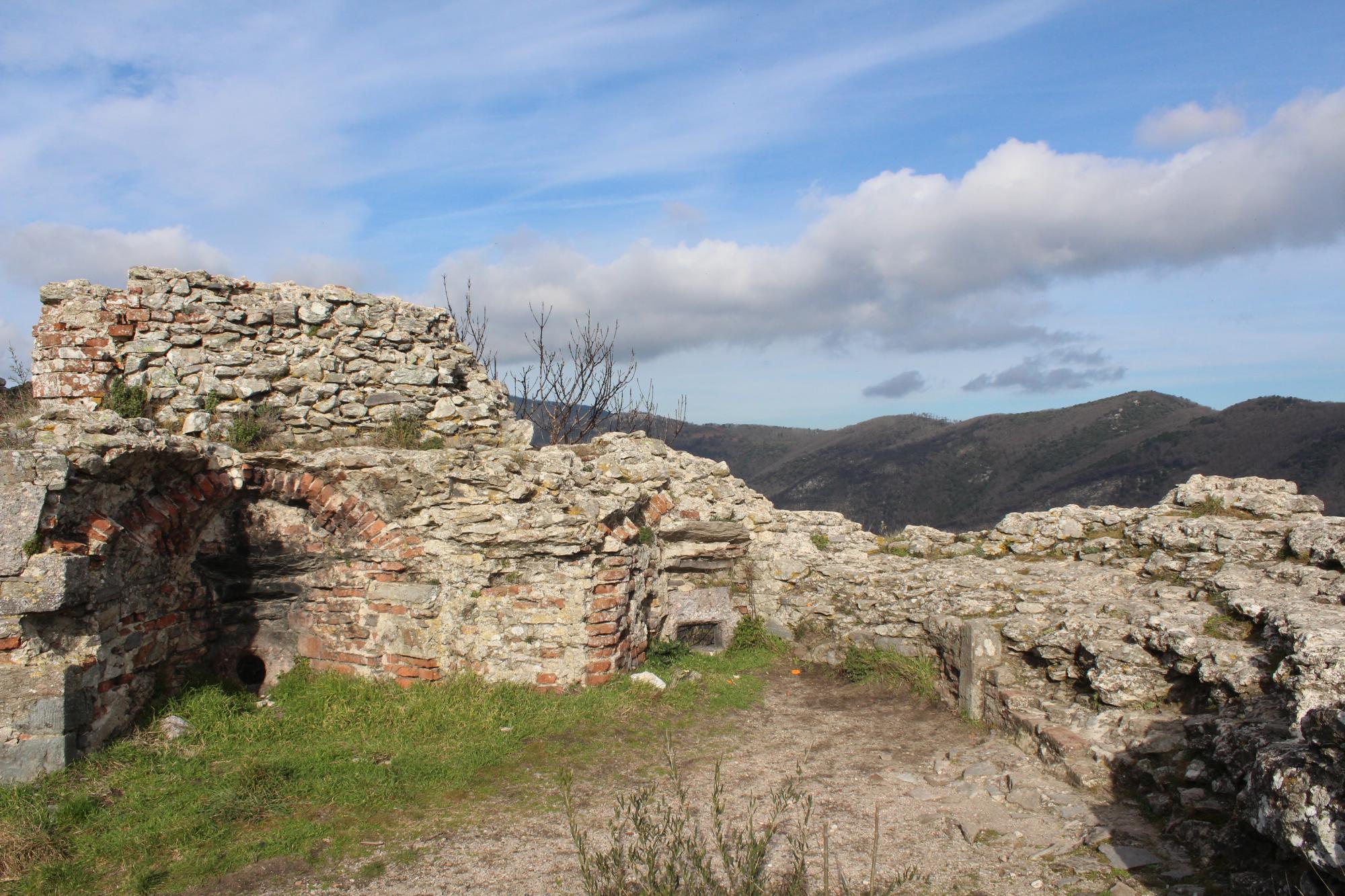
The main front has cylindrical-shaped towers at the two extremities, attributed to the architect Luca del Caprina of the school of the master mason Francione. The main and only gate is opened at the extreme left of this front. The bastion of the northwest, the worst performed, is instead attributed to Antonio da Sangallo. The most anomalous part is the west angle; it has a polygonal extremity with a scarped wall on the northern side only. In the inner ward come out a crag of stone and a quadrangular-shaped palace in a state of advanced degradation. It was the ancient core of the fortification and was probably destined in part as a chapel. All along the walled circuit, there are still many gun and loop holes visible.
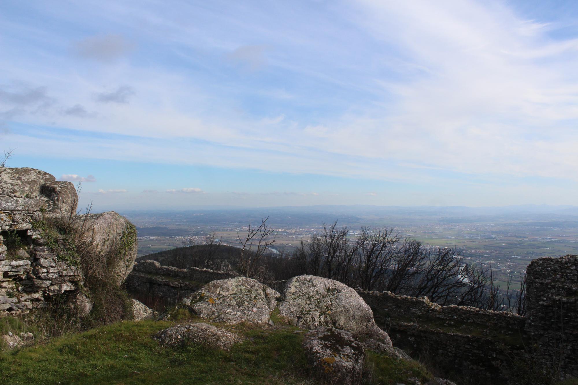
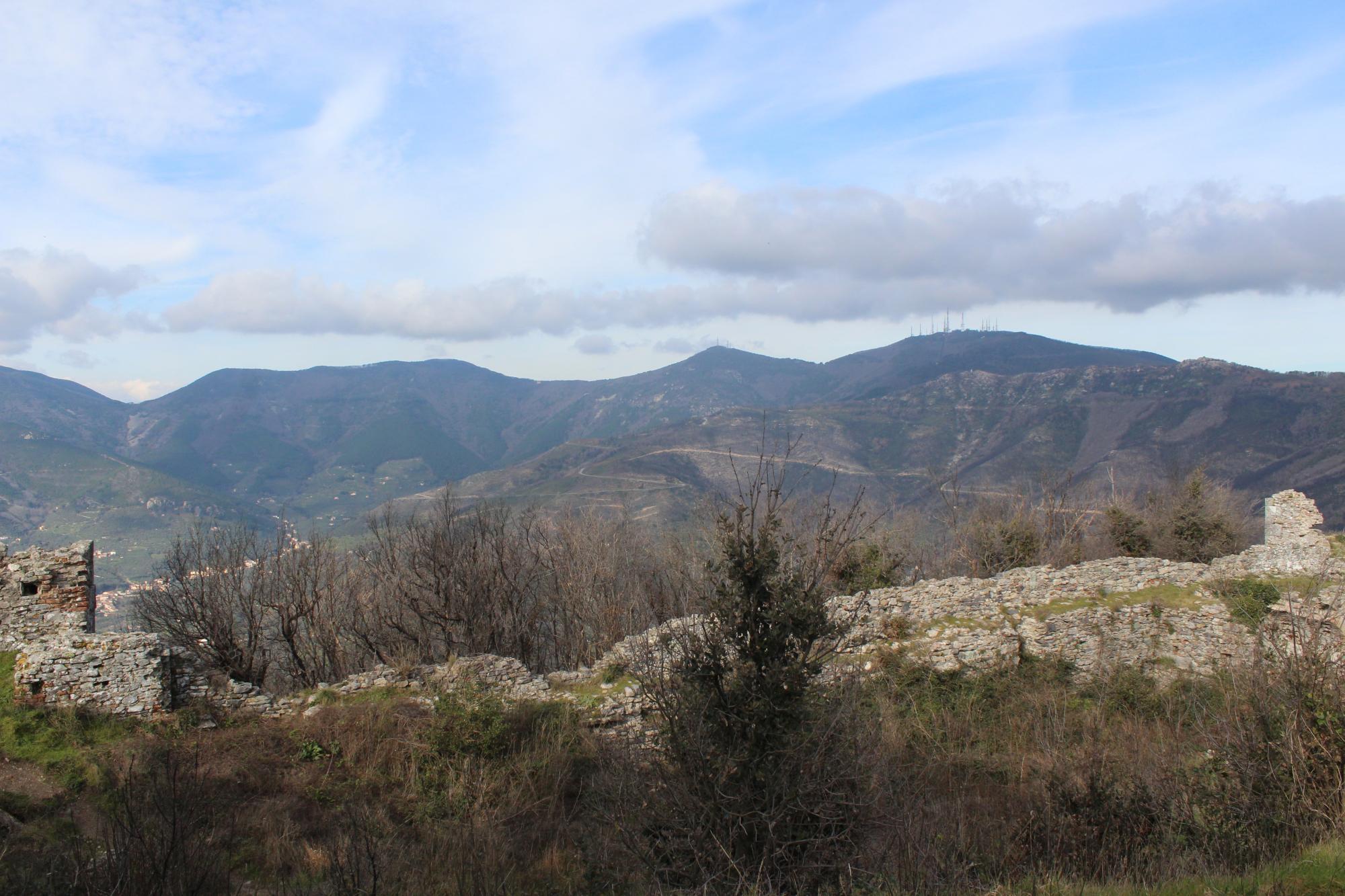
The low quality of the construction and the centuries of abandonment are the cause of the disastrous condition in which the fortress stands today, invaded by vegetation and at risk of ulterior structural collapse, but the lovely view on the whole Arno river valley that is possible to have from this height is really unique!
More info & notes
Rocca della Verruca from the drone: